Adriatico Street, Manila
Map

Map

Facts and practical information
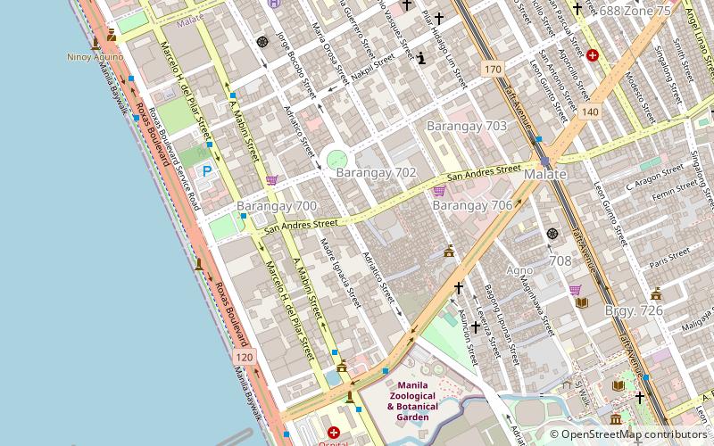
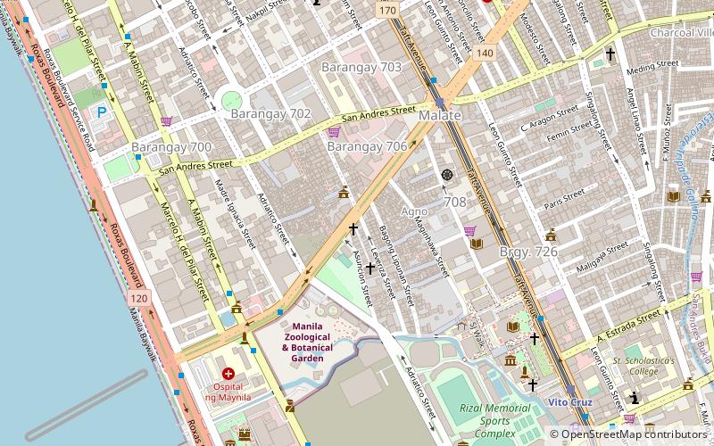
Adriatico Street is a north–south road connecting Ermita and Malate districts in Manila, Philippines. Its northern terminus is at Padre Faura Street in Ermita carrying southbound traffic all the way to Quirino Avenue in Malate. South of Quirino, the street becomes two way with a wide median running down the center from just past the Manila Zoo up to its southern terminus at Pablo Ocampo Street. ()
Length: 7218 ftCoordinates: 14°34'8"N, 120°59'13"E
Address
MalateManila
ContactAdd
Social media
Add
Day trips
Adriatico Street – popular in the area (distance from the attraction)
Nearby attractions include: Robinsons Place Manila, Manila Zoo, Metropolitan Museum of Manila, Jesus Is Lord Church Worldwide.
Frequently Asked Questions (FAQ)
Which popular attractions are close to Adriatico Street?
Nearby attractions include Remedios Circle, Manila (3 min walk), Jesus Is Lord Church Worldwide, Manila (5 min walk), Plaza Rajah Sulayman, Manila (6 min walk), Cathedral of Praise, Manila (6 min walk).
How to get to Adriatico Street by public transport?
The nearest stations to Adriatico Street:
Bus
Light rail
Train
Bus
- Malate Church • Lines: 312, T378 (4 min walk)
- Quirino • Lines: 312, T378 (8 min walk)
Light rail
- Quirino • Lines: 1 (9 min walk)
- Pedro Gil • Lines: 1 (14 min walk)
Train
- San Andres (23 min walk)
- Vito Cruz (28 min walk)


