Mount Mirador, Baguio
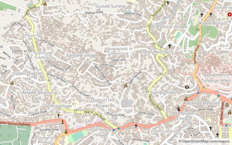
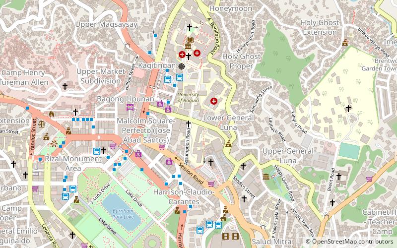
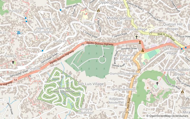
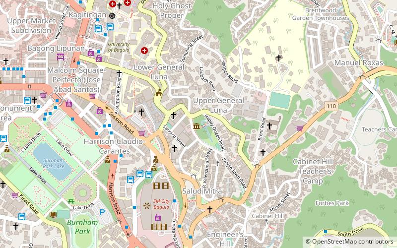
Map
Facts and practical information
Mount Mirador is a mountain situated in the city of Baguio in the Cordillera Central mountain range, Luzon Island in the Philippines. A meteorological station was established on September 1909 and was the second highest station during that time with the first being the meteorological station in Mount Fuji. Said station was also equipped with a time ball and a typhoon signal for the benefit of Baguio city. ()
Coordinates: 16°25'0"N, 120°34'59"E
Address
Baguio
ContactAdd
Social media
Add
Day trips
Mount Mirador – popular in the area (distance from the attraction)
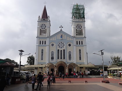
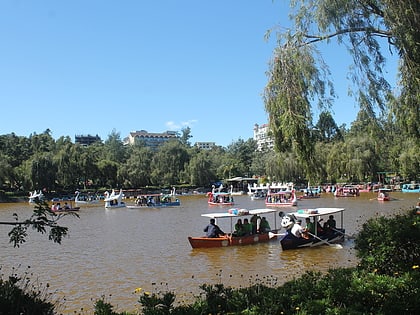
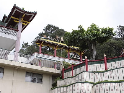
Nearby attractions include: SM City, Baguio Cathedral, Burnham Park, Bell Church.
Frequently Asked Questions (FAQ)
Which popular attractions are close to Mount Mirador?
Nearby attractions include Baguio Cemetery, Baguio (17 min walk), Baguio Central University, Baguio (20 min walk), Dominican Hill Retreat House, Baguio (24 min walk).
How to get to Mount Mirador by public transport?
The nearest stations to Mount Mirador:
Bus
Bus
- Daisy Street • Lines: Guisad, Jeepney (5 min walk)
- Avelino Street • Lines: Guisad, Jeepney (6 min walk)

