Solidarity Bridge, Płock
Map

Map

Facts and practical information
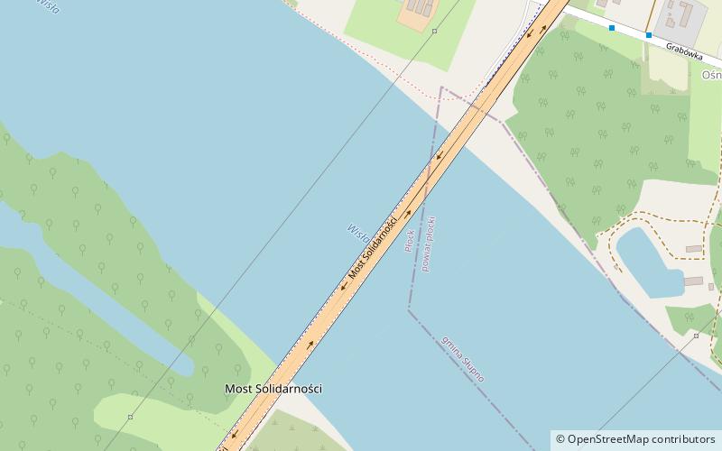
The Solidarity Bridge is a cable-stayed bridge over the Vistula River in Płock, Poland, being in a sequence of two national roads: national road no. 60 and national road no. 62. ()
Local name: Most Solidarności w Płocku Opened: 13 October 2007 (18 years ago)Length: 5617 ftWidth: 90 ftHeight: 209 ftCoordinates: 52°31'18"N, 19°43'39"E
Address
Płock
ContactAdd
Social media
Add
Day trips
Solidarity Bridge – popular in the area (distance from the attraction)
Nearby attractions include: Płock Cathedral, Płock Castle, Bolesław III Wrymouth Monument, Temple of Mercy and Charity.
Frequently Asked Questions (FAQ)
How to get to Solidarity Bridge by public transport?
The nearest stations to Solidarity Bridge:
Bus
Bus
- Św. Wojciecha • Lines: 22, 26, 33, B, N1 (30 min walk)
- Skotnickiego • Lines: 22, 26, 33, B, N1 (30 min walk)


