Suchy Wierch Waksmundzki, Tatra National Park


Facts and practical information
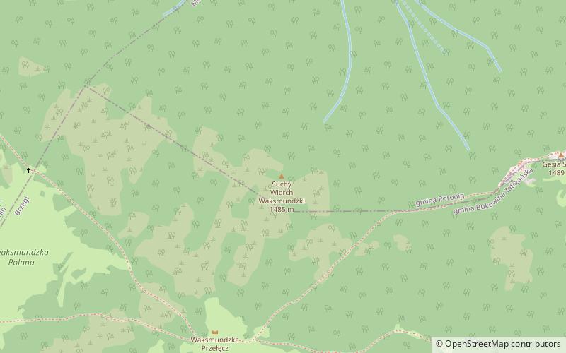
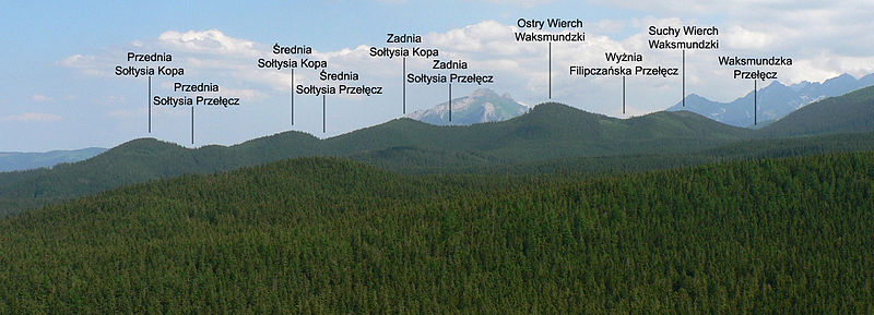
Suchy Wierch Waksmundzki or simply Suchy Wierch - a forested, coniferous peak with a height of 1485 m on the ridge running from Goose Neck to Kopy Soltysie. It is the southernmost peak of the ridge, located between the Przysłop Waksmundzki Pass separating it from the Goose Neck and the Wyżnią Filipczańska Pass separating it from the Sharp Peak. From the southwest its slopes descend to the Waksmundzka Glade, from the northeast to the Filipka valley. Flows down from them Filipczański Potok. From the south side it neighbors with Mala Koszysta, it is separated from it by Waksmundzka Prze喚cz, on which there is the Waksmundzka Plain.
Formerly, the forests on the southern slopes of Suchy Wierch were grazed, they were servants of Hala Waksmundzka. There is no tourist trail leading through Suchy Wierch Waksmundzki.
Tatra National Park
Suchy Wierch Waksmundzki – popular in the area (distance from the attraction)
Nearby attractions include: Wołoszyn, Sanktuarium Matki Bożej Jaworzyńskiej Królowej Tatr, Łysa Skałka, Kopieniec Wielki.


