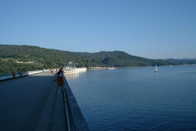
Lake Solina

Gallery (3)
Map
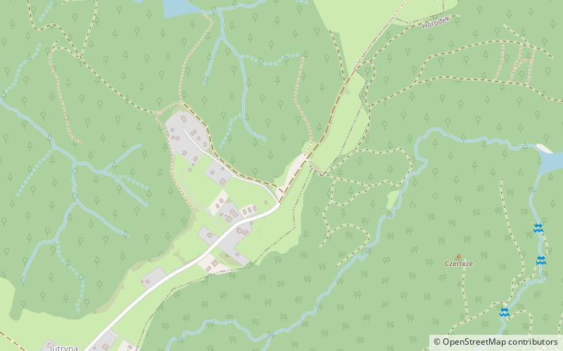
Map
Gallery
Facts and practical information
Lake Solina is an artificial lake in the Bieszczady Mountains region, more precisely in Lesko County of the Subcarpathian Voivodship of Poland. Its coordinates are 49°22′27″N 22°27′8″E. ()
Local name: Jezioro Solińskie Area: 8.49 mi²Length: 13.05 miMaximum depth: 197 ftElevation: 1634 ft a.s.l.Coordinates: 49°21'18"N, 22°28'16"E
Location
Subcarpathian
ContactAdd
Social media
Add
Day trips
Lake Solina – popular in the area (distance from the attraction)
Nearby attractions include: Jawor Mountain, Cerkiew Greckokatolicka p.w Zaśnięcia Najświętszej Marii Panny w Ustrzykach Dolnych, stary kościół Przemienienia Pańskiego, Kościół pw. Matki Bożej Pięknej Miłości.


