Wielki Staw Polski, Tatra National Park
Map

Map

Facts and practical information
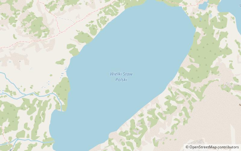
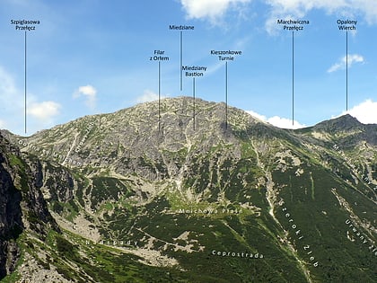
Wielki Staw Polski - is a tarn located in the High Tatras, at an elevation of 1,665 metres above sea level in the Valley of the Five Polish Lakes, by the slope of the Miedziane. The lake is the second-largest lake by area in the Tatra Mountains after the Morskie Oko. The lake is located in the Lesser Poland Voivodeship; in Poland. ()
Alternative names: Area: 84.36 acres (0.1318 mi²)Length: 3274 ftWidth: 1483 ftMaximum depth: 260 ftElevation: 5459 ft a.s.l.Coordinates: 49°12'31"N, 20°2'22"E
Address
Tatra National Park
ContactAdd
Social media
Add
Day trips
Wielki Staw Polski – popular in the area (distance from the attraction)
Nearby attractions include: Orla Perć, Kościelec, Mnich Mountain, Hrubý štít / Szpiglasowy Wierch.
Frequently Asked Questions (FAQ)
Which popular attractions are close to Wielki Staw Polski?
Nearby attractions include Niedźwiedź, Tatra National Park (11 min walk), Schronisko PTTK w Dolinie Pięciu Stawów Polskich, Tatra National Park (14 min walk), Miedziane, Tatra National Park (17 min walk), Hrubý štít / Szpiglasowy Wierch, Tatra National Park (20 min walk).


