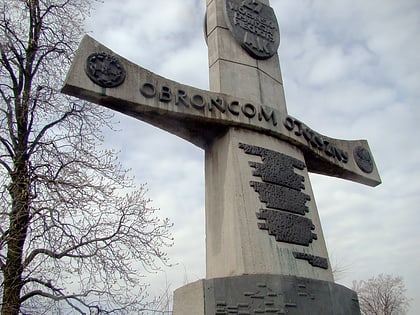
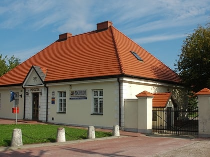
Łomianki, Warsaw
Map
Gallery

Facts and practical information
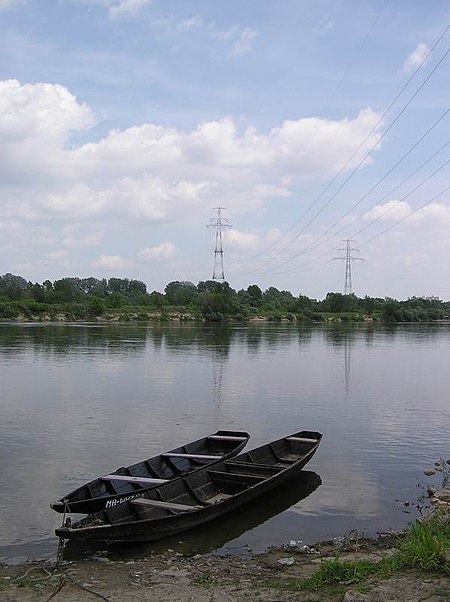
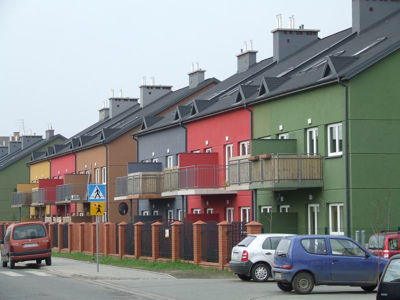
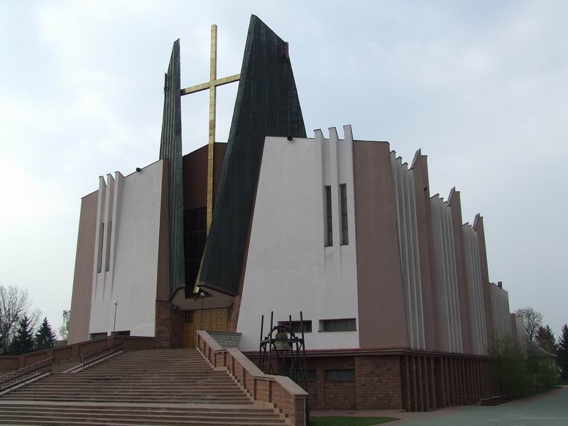
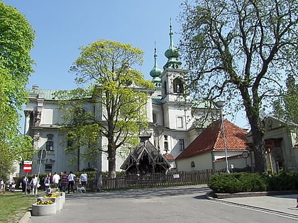
Łomianki is a town in Warsaw West County, Masovian Voivodeship, Poland. It had a population of 16,374 in 2008, and 24,328 in 2016. It is part of the Warsaw metropolitan area. ()
Day trips
Łomianki – popular in the area (distance from the attraction)
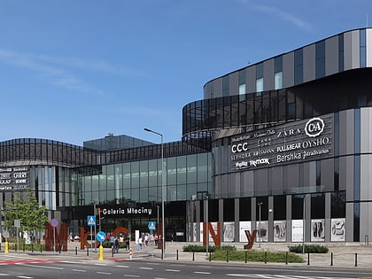
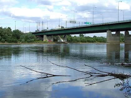
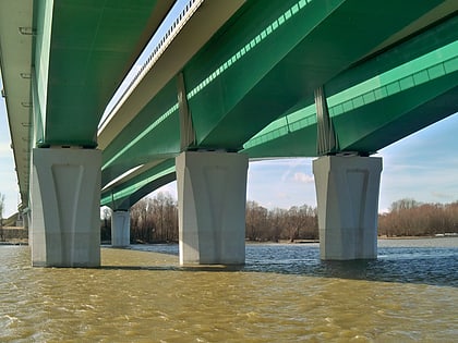
Nearby attractions include: Galeria Młociny, General Stefan "Grot" Rowecki Bridge, Maria Skłodowska-Curie Bridge, Jabłonna Palace.
Frequently Asked Questions (FAQ)
How to get to Łomianki by public transport?
The nearest stations to Łomianki:
Bus
Bus
- Łomianki-Szkoła 01 • Lines: 150, 750, 850, N56 (6 min walk)
- Wiślana 01 • Lines: L-7 (6 min walk)


