Park na Młynku, Łódź
Map

Map

Facts and practical information
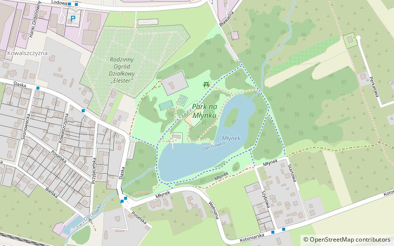
Park na Mlynku - an area of urban greenery and a water reservoir in the Olechówka River valley located in Lodz in the southeastern part of the Górna district between Mlynnek and Blavatna Streets, at the end of Śląska Street.
Elevation: 643 ft a.s.l.Coordinates: 51°43'32"N, 19°31'25"E
Address
Górna (Chojny-Dąbrowa)Łódź
ContactAdd
Social media
Add
Day trips
Park na Młynku – popular in the area (distance from the attraction)
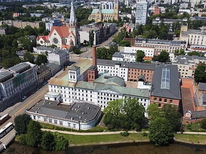
Nearby attractions include: Central Museum of Textiles, Centralne Muzeum Włókiennictwa, Księży Młyn, Czerwony Rynek.
Frequently Asked Questions (FAQ)
How to get to Park na Młynku by public transport?
The nearest stations to Park na Młynku:
Bus
Train
Tram
Bus
- Młynek • Lines: 71A, 71B (6 min walk)
- Kotoniarska - Szybowa • Lines: 71A, 71B (7 min walk)
Train
- Łódź Olechów Wiadukt (23 min walk)
- Łódź Dąbrowa (23 min walk)
Tram
- Dw. Łódź Dąbrowa • Lines: 14, 2, 4 (25 min walk)
- Dąbrowskiego - Kossaka • Lines: 14, 2, 4 (33 min walk)


