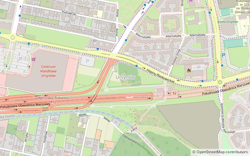
Ursynów, Warsaw
Map

Map

Facts and practical information
Ursynów is the southernmost district of Warsaw. With a surface area of 43.7 km2, it is the third largest district in Warsaw, comprising 8.6% of the city. The district has a population of over 150,000, and is one of the fastest-growing neighbourhoods in Warsaw. Nearly 25% of its inhabitants are below 18 years of age. ()
Day trips
Ursynów – popular in the area (distance from the attraction)
Nearby attractions include: Płaskowickiej Street, Stryjeńskich Street, Figlowisko, Arena Ursynów.
Frequently Asked Questions (FAQ)
Which popular attractions are close to Ursynów?
Nearby attractions include Stryjeńskich Street, Warsaw (21 min walk), Płaskowickiej Street, Warsaw (22 min walk).
How to get to Ursynów by public transport?
The nearest stations to Ursynów:
Bus
Metro
Bus
- Indiry Gandhi 01 • Lines: 185, 195 (2 min walk)
- Indiry Gandhi 03 • Lines: 179 (3 min walk)
Metro
- Imielin • Lines: M1 (21 min walk)
- Natolin • Lines: M1 (27 min walk)


