Płaskowickiej Street, Warsaw
Map

Map

Facts and practical information
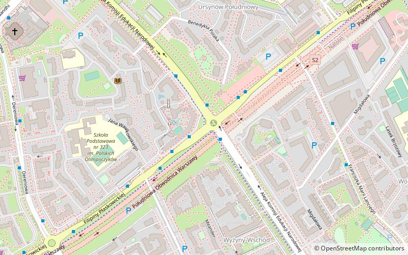
Filipiny Płaskowickiej street is a thoroughfare which links the west and the east of Ursynów. It starts nearby the Nowoursynowska and crosses: Rosoła, Cynamonowa, Lanciego, Komisji Edukacji Narodowej, Dereniowa, Stryjeńskich, Pileckiego, Polskie Drogi and Roentgena. It has its end in the crossing with Puławska. Since 2017, the street is being rebuilt because of the construction project of the Expressway S2 including tunnel under Płaskowickiej. ()
Address
UrsynówWarsaw
ContactAdd
Social media
Add
Day trips
Płaskowickiej Street – popular in the area (distance from the attraction)
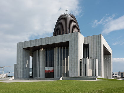
Nearby attractions include: Museum of John Paul II and Primate Wyszyński, Natolin Park, Temple of Divine Providence, Rosoła Street.
Frequently Asked Questions (FAQ)
Which popular attractions are close to Płaskowickiej Street?
Nearby attractions include Rosoła Street, Warsaw (13 min walk), Stryjeńskich Street, Warsaw (14 min walk), Ursynów, Warsaw (22 min walk).
How to get to Płaskowickiej Street by public transport?
The nearest stations to Płaskowickiej Street:
Bus
Metro
Bus
- Natolin Północny 02 • Lines: 192 (1 min walk)
- Natolin Północny 04 • Lines: 319, N86 (2 min walk)
Metro
- Imielin • Lines: M1 (10 min walk)
- Natolin • Lines: M1 (10 min walk)


