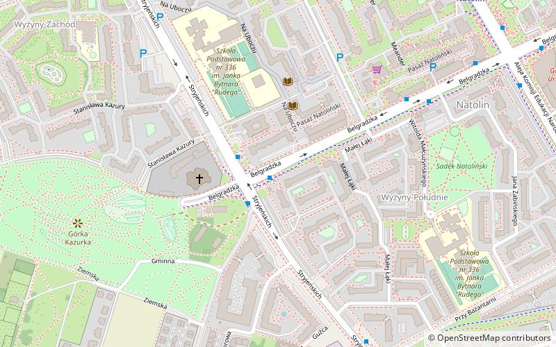
Stryjeńskich Street, Warsaw
Map

Map

Facts and practical information
Stryjeńskich Street is one of the three main thoroughfares of Warsaw's borough of Ursynów. It links Płaskowickiej Street on the north with Wąwozowa Street on the west. The name commemorates the Stryjeński family: Zofia, Aleksander, Karol and Tadeusz. The street was planned in the 1970s and opened ten years later – the name of the avenue appears on the Warsaw maps in 1980. The name of the street was given in 1977. Nowadays, it crosses local streets: Przy Bażantarni, Małej Łąki, Moczydłowska, Belgradzka, Kazury and Na Uboczu. ()
Address
Ursynów (Natolin)Warsaw
ContactAdd
Social media
Add
Day trips
Stryjeńskich Street – popular in the area (distance from the attraction)
Nearby attractions include: Natolin Park, Rosoła Street, Płaskowickiej Street, Wąwozowa Street.
Frequently Asked Questions (FAQ)
Which popular attractions are close to Stryjeńskich Street?
Nearby attractions include Płaskowickiej Street, Warsaw (14 min walk), Wąwozowa Street, Warsaw (20 min walk), Rosoła Street, Warsaw (20 min walk), Ursynów, Warsaw (21 min walk).
How to get to Stryjeńskich Street by public transport?
The nearest stations to Stryjeńskich Street:
Bus
Metro
Bus
- Os.Wyżyny 01 • Lines: 179, 195 (1 min walk)
- Os.Wyżyny 04 • Lines: 179, 504, N34 (2 min walk)
Metro
- Natolin • Lines: M1 (9 min walk)
- Kabaty • Lines: M1 (19 min walk)


