Otryt

Map
Facts and practical information
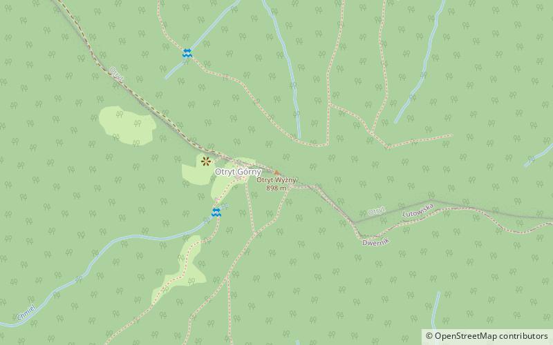
Otryt is a mountain range in the Bieszczady Mountains of south-eastern Poland. It is located north of the San river. Its highest point is Trohaniec. Otryt is a long, straight ridge, approx. 18 km long, covered with fir and beech forests. ()
Location
Subcarpathian
ContactAdd
Social media
Add
Day trips
Otryt – popular in the area (distance from the attraction)
Nearby attractions include: St. Michael Archangel's Church, Kościół pw. Świętego Stanisława Biskupa, Cmentarz żydowski w Lutowiskach, Cerkiew Świętego Michała Archanioła.


