Roh, Bieszczady National Park
Map

Map

Facts and practical information
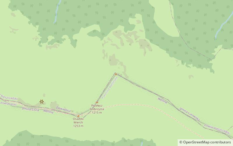
Roh - the highest peak of Połonina Wetlińska in the Western Bieszczady. The peak is the culmination of the grehoty-covered ridge located between the Silver Pass separating it from Osadzki Wierch and Hasiakowa Skała and is situated in its northwestern end. The north and west slopes are steep, while the south slope is less steep. On the top of Roha the main ridge of Połonina Wetlinska turns about 90° south. The peak is not available for tourists due to the lack of marked hiking trails and protection of the Bieszczady National Park.
Coordinates: 49°10'4"N, 22°31'41"E
Address
Bieszczady National Park
ContactAdd
Social media
Add
Day trips
Roh – popular in the area (distance from the attraction)
Nearby attractions include: Hasiakowa Skała, Osadzki Wierch, Hnatowe Berdo, Szare Berdo.
Frequently Asked Questions (FAQ)
Which popular attractions are close to Roh?
Nearby attractions include Osadzki Wierch, Bieszczady National Park (5 min walk), Hnatowe Berdo, Bieszczady National Park (19 min walk).


