Osadzki Wierch, Bieszczady National Park
Map

Map

Facts and practical information
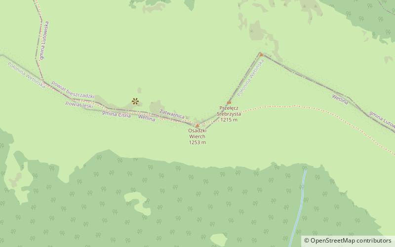
Osadzki Wierch - the second highest and highest trail accessible peak in the Połonina Wetlinska range in the Western Bieszczady Mountains.
The summit is a short, rocky ridge with steep slopes covered with grehots. On Osadzki Wierch the ridge of Połonina Wetlinska changes direction from NE-SW to NW-SE; moreover, the side ridge culminating in Hnatowy Brod diverges to the west. Due to the presence of the Poloniny, the peak is a vantage point overlooking the surrounding ranges of the Bieszczady and the Sanocko-Turczańskie Mountains.
Coordinates: 49°9'57"N, 22°31'31"E
Address
Bieszczady National Park
ContactAdd
Social media
Add
Day trips
Osadzki Wierch – popular in the area (distance from the attraction)
Nearby attractions include: Hasiakowa Skała, Hnatowe Berdo, Roh, Szare Berdo.
Frequently Asked Questions (FAQ)
Which popular attractions are close to Osadzki Wierch?
Nearby attractions include Roh, Bieszczady National Park (5 min walk), Hnatowe Berdo, Bieszczady National Park (16 min walk).


