Alfama, Lisbon
Map
Gallery
Facts and practical information
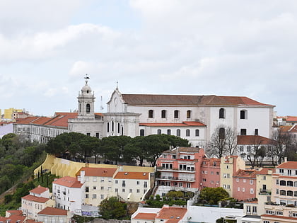
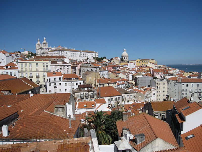
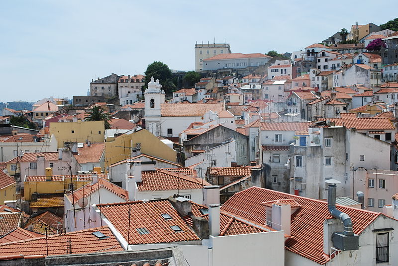
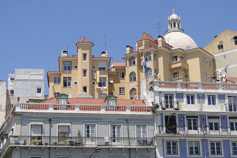
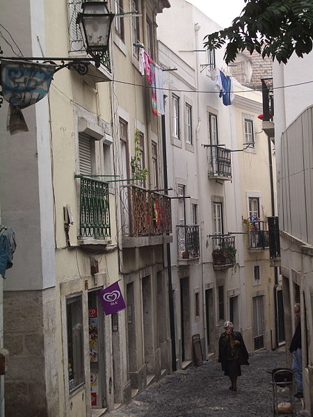
The Alfama is the oldest neighborhood of Lisbon, spreading on the slope between the São Jorge Castle and the Tagus river. Its name comes from the Arabic al-ḥamma, meaning "hot fountains" or "baths," akin to "hammam". The district includes the freguesias of São Miguel, Santo Estêvão, São Vicente de Fora and part of the two streets, "Freguesia da Sé: Rua do Barão" and "Rua São João da Praça". It contains many important historical attractions, as well as an abundance of Fado bars and restaurants. ()
Address
Santa Maria Maior (São Miguel)Lisbon
ContactAdd
Social media
Add
Day trips
Alfama – popular in the area (distance from the attraction)
Nearby attractions include: São Jorge Castle, Monastery of São Vicente de Fora, Lisbon Cathedral, Panteão Nacional.
Frequently Asked Questions (FAQ)
Which popular attractions are close to Alfama?
Nearby attractions include Igreja de Santa Luzia, Lisbon (1 min walk), Museu de Artes Decorativas Portuguesas, Lisbon (2 min walk), Ombu, Lisbon (3 min walk), Igreja de Santo Estêvão, Lisbon (3 min walk).
How to get to Alfama by public transport?
The nearest stations to Alfama:
Tram
Bus
Train
Metro
Ferry
Tram
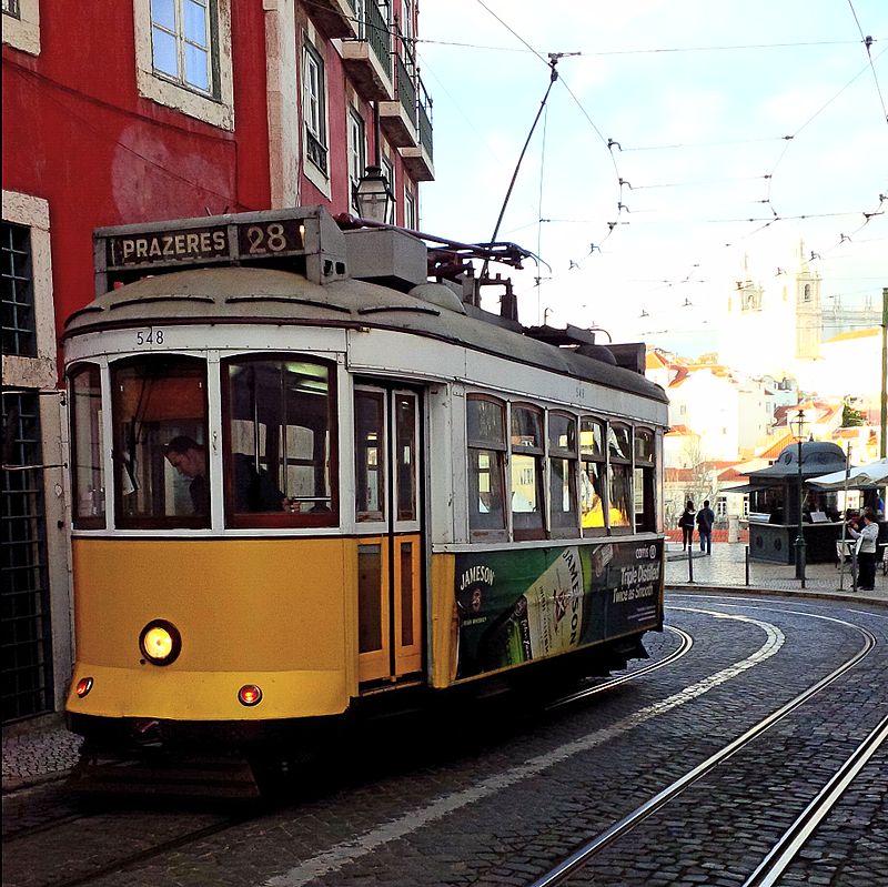
- Largo das Portas do Sol • Lines: 12E, 28E (1 min walk)
- Rua das Escolas Gerais • Lines: 28E (2 min walk)
Bus
- Largo das Portas do Sol • Lines: 10B (1 min walk)
- Largo do Contador-Mor • Lines: 737 (2 min walk)
Train
- Lisboa Santa Apolónia (10 min walk)
- Lisbon-Santa Apolónia Station (11 min walk)
Metro
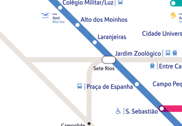
- Santa Apolónia • Lines: Azul (11 min walk)
- Terreiro do Paço • Lines: Azul (12 min walk)
Ferry
- Cais do Sodré • Lines: Ferries da Transtejo (27 min walk)




 Metro
Metro


