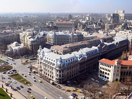
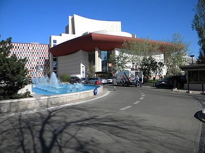
Bucharest Old Town, Bucharest
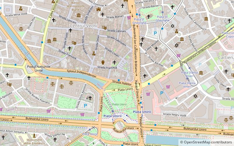
Map
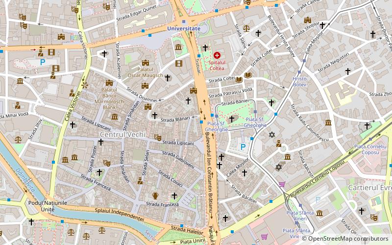
Map

Facts and practical information
Local name: Centrul istoric din BucureștiCoordinates: 44°25'57"N, 26°6'11"E
Address
Sector 3 (Centrul Istoric)Bucharest
ContactAdd
Social media
Add
Day trips
Bucharest Old Town – popular in the area (distance from the attraction)
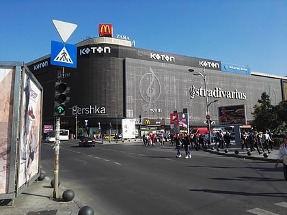
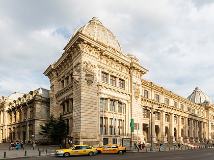
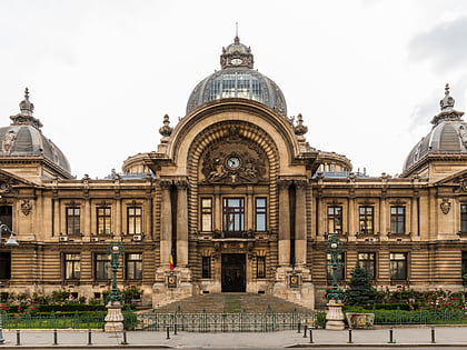
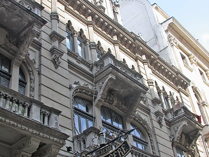
Nearby attractions include: Unirea Shopping Center, National Museum of Romanian History, CEC Palace, Caru' cu Bere.
Frequently Asked Questions (FAQ)
Which popular attractions are close to Bucharest Old Town?
Nearby attractions include Kilometer Zero, Bucharest (2 min walk), Lipscani, Bucharest (3 min walk), Bucharest Bărăția, Bucharest (3 min walk), Bucharest Russian Church, Bucharest (3 min walk).
How to get to Bucharest Old Town by public transport?
The nearest stations to Bucharest Old Town:
Bus
Tram
Metro
Trolleybus
Bus
- Piața Sfântul Gheorghe • Lines: 381 (1 min walk)
- Piața Sf. Gheorghe • Lines: 605 (4 min walk)
Tram
- Piața Sf. Gheorghe • Lines: 16, 21, 5 (3 min walk)
- Hristo Botev • Lines: 16, 21, 5 (7 min walk)
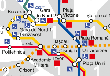
Metro
- Universitate • Lines: M2 (6 min walk)
- Piața Unirii 1 • Lines: M1, M3 (9 min walk)
Trolleybus
- University • Lines: 61, 66, 69, 70, 85, 90 (6 min walk)
- Teatrul Național • Lines: 61, 66, 69, 70, 85, 90 (7 min walk)

 Metro
Metro