Kronverksky Strait, Saint Petersburg
Map

Map

Facts and practical information
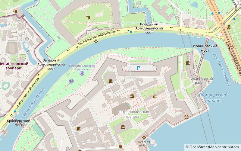
The Kronverksky Strait is a narrow channel separating Petrogradsky and Zayachy islands in Saint Petersburg, Russia. It forms an arc approximately 1 kilometre long, about 50 metres wide and 4 metres deep. To the south is Zayachy Island, which is dominated by the Sts. Peter and Paul Fortress, and to the north is the Kronverk on Petrogradsky Island. It is spanned by the Kronverksky Bridge to the east and the Ioannovsky Bridge to the west. ()
Address
Петроградский район (Кронверкское)Saint Petersburg
ContactAdd
Social media
Add
Day trips
Kronverksky Strait – popular in the area (distance from the attraction)
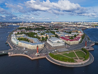
Nearby attractions include: Peter and Paul Fortress, Rostral Columns, Suvorov Monument, Vladimir Palace.
Frequently Asked Questions (FAQ)
Which popular attractions are close to Kronverksky Strait?
Nearby attractions include Grand Ducal Burial Vault, Saint Petersburg (2 min walk), Saints Peter and Paul Cathedral, Saint Petersburg (3 min walk), Peter and Paul Fortress, Saint Petersburg (3 min walk), State Museum of the History of St. Petersburg, Saint Petersburg (3 min walk).
How to get to Kronverksky Strait by public transport?
The nearest stations to Kronverksky Strait:
Metro
Bus
Tram
Ferry
Trolleybus
Metro
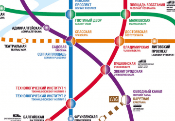
- Горьковская • Lines: 2 (8 min walk)
- Петроградская • Lines: 2 (25 min walk)
Bus
- Троицкая площадь • Lines: 46, 49 (9 min walk)
- станция метро Горьковская • Lines: 46 (10 min walk)
Tram
- проспект Добролюбова • Lines: 40, 6, Т1 (10 min walk)
- Зверинская улица • Lines: 40, 6, Т1 (10 min walk)
Ferry
- Дворцовая пристань (17 min walk)
Trolleybus
- Введенская улица • Lines: 1, 31, 9 (17 min walk)
- переулок Талалихина • Lines: 1, 31, 7, 9 (18 min walk)

 Metro
Metro


