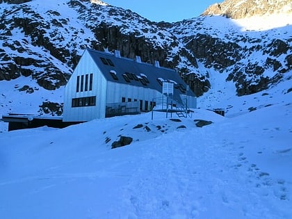
Maladeta, Posets–Maladeta Natural Park
Map
Map

Facts and practical information
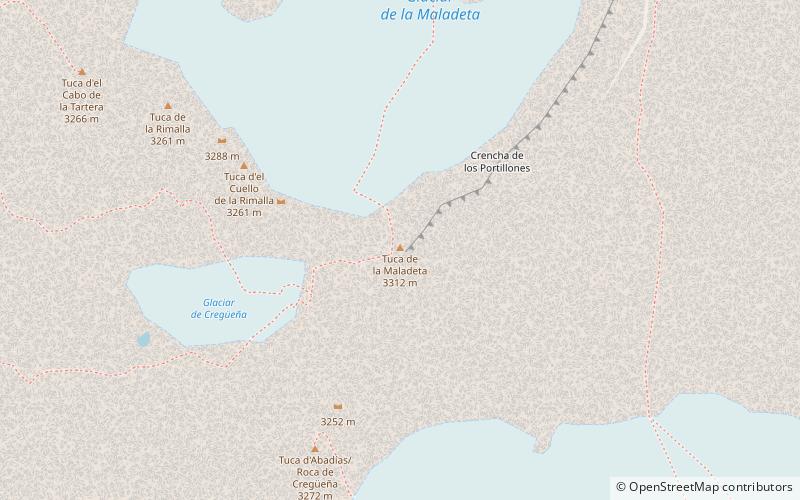
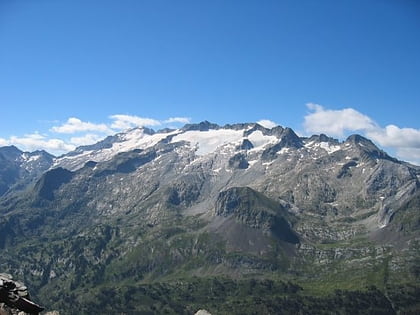
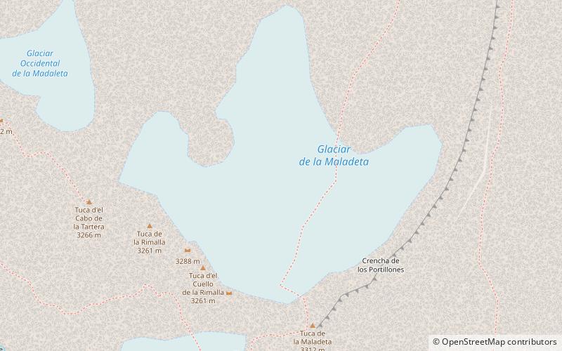
Maladeta is a mountain in the Pyrenees, close to the highest peak in the range, Aneto. It is located in the Natural Park of Posets-Maladeta in the town of Benasque in Province of Huesca, Aragon, Spain. Its northern slope contains the 91-acre Maladeta Glacier, which is divided into the 15-acre Western Maladeta and the 77-acre Eastern Maladeta. ()
Address
Posets–Maladeta Natural Park
ContactAdd
Social media
Add
Day trips
Maladeta – popular in the area (distance from the attraction)
Nearby attractions include: Cerler, Aneto, Aigualluts, Pico Maldito.
Frequently Asked Questions (FAQ)
Which popular attractions are close to Maladeta?
Nearby attractions include Pico Tempestades, Posets–Maladeta Natural Park (7 min walk), Pico Maldito, Posets–Maladeta Natural Park (19 min walk), Macizo de la Maladeta, Posets–Maladeta Natural Park (24 min walk).


