Pic de Vallibierna, Posets–Maladeta Natural Park
Map

Map

Facts and practical information
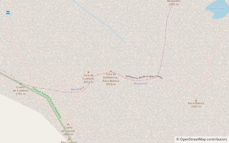
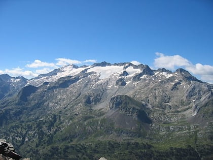
The Pic de Vallibierna, culminating at 3,067 m, together with the tuc Culebras 3,062 m forms a massif located south of the massif de la Maladeta, in the Spanish Pyrenees. The crest separating both summits is nicknamed the horse step. ()
Address
Posets–Maladeta Natural Park
ContactAdd
Social media
Add
Day trips
Pic de Vallibierna – popular in the area (distance from the attraction)
Nearby attractions include: Aneto, Aigualluts, Pico Maldito, Maladeta.


