Calle Mayor, Palencia

Gallery (3)
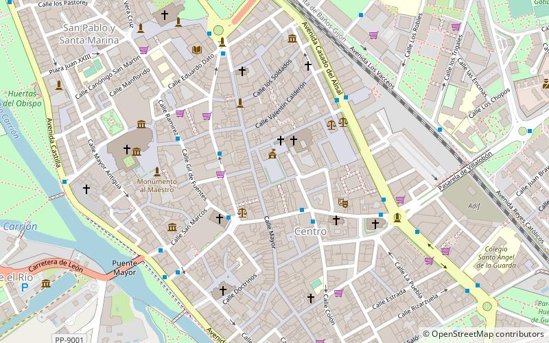
Map
Map
Gallery
Facts and practical information
Calle Mayor is a place located in Palencia (Castile and León autonomous community) and belongs to the category of square.
It is situated at an altitude of 2444 feet, and its geographical coordinates are 42°0'39"N latitude and 4°31'58"W longitude.
Planning a visit to this place, one can easily and conveniently get there by public transportation. Calle Mayor is a short distance from the following public transport stations: C/ Don Sancho (bus, 2 min walk), Palencia (train, 10 min walk).
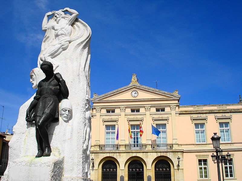
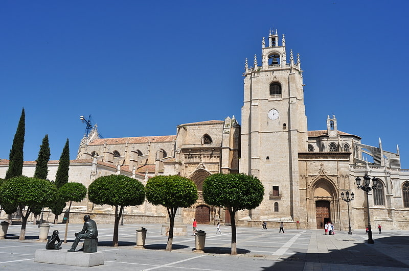
Among other places and attractions worth visiting in the area are: Ayuntamiento de Palencia (city hall, 1 min walk), St. Francis Church (church, 2 min walk), Diputación de Palencia (architecture, 3 min walk).
Coordinates: 42°0'39"N, 4°31'58"W
Address
Palencia
ContactAdd
Social media
Add
Getting there by public transportation
Public transportation stops near this location
- Bus
- Train
 Bus
Bus
- Calculate routeC/ Don Sancho 2 min walk
- Calculate routeC/ Menéndez Pelayo 3 min walk
- Calculate routeC/ Colón, 2 3 min walk
- Calculate routeC/ Gil de Fuentes 3 min walk
- Calculate routePalencia 10 min walk
Day trips


Frequently Asked Questions (FAQ)
Which popular attractions are close to Calle Mayor?
Nearby attractions include Ayuntamiento de Palencia, Palencia (1 min walk), St. Francis Church, Palencia (2 min walk), Diputación de Palencia, Palencia (3 min walk), Calle Mayor, Palencia (3 min walk).
How to get to Calle Mayor by public transport?
The nearest stations to Calle Mayor:
Bus
Train
Bus
- C/ Don Sancho • Lines: L1 (2 min walk)
- C/ Menéndez Pelayo • Lines: L1 (3 min walk)
Train
- Palencia (10 min walk)