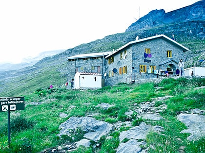
Cilindro de Marboré
#276 among destinations in Spain

Facts and practical information
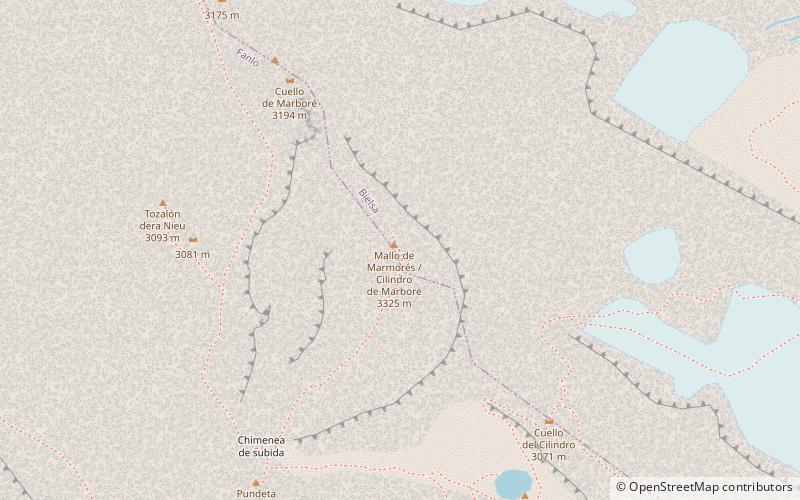
Cilindro de Marboré is a mountain in the Monte Perdido massif in the Pyrenees. ()
AragonSpain
Cilindro de Marboré – popular in the area (distance from the attraction)
Nearby attractions include: Pic du Taillon, Ordesa Valley, Pic de la Munia, Épaule du Marboré.
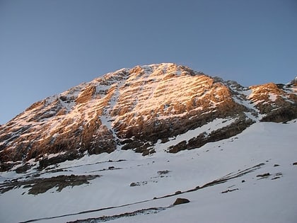 Nature, Natural attraction, Mountain
Pic du Taillon
99 min walk • Pic du Taillon, an imposing mountain that stands as a sentinel between France and Spain, is a pinnacle of natural beauty and mountaineering challenge. Rising to an elevation of 3,144 meters, the peak forms part of the Pyrenees mountain range and is a favored...
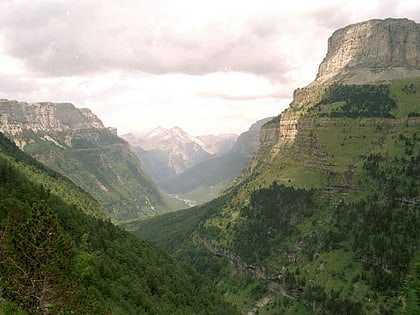 Deep canyons and multiple day-hike routes
Ordesa Valley, Ordesa y Monte Perdido National Park
124 min walk • The Ordesa Valley is a glacial valley in Aragon, in the Spanish Pyrenees which forms part of the Ordesa y Monte Perdido National Park. It was first discovered in 1820, but not mapped in detail until approximately the 1920s. The valley is about 11 kilometres long.
 Nature, Natural attraction, Mountain
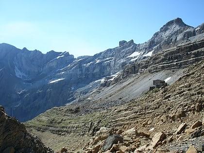
Pic de la Munia
152 min walk • The Pic de la Munia culminating at 3,133 m is the highest point of the three cirques of Troumouse, Barroude and Barrosa. It is located on the border between France and Spain.
 Nature, Natural attraction, Mountain
Épaule du Marboré
31 min walk • Épaule du Marboré is a pyrenean summit, culminating at 3,073 m in the Monte Perdido Range, marking the Franco-Spanish border. It lies on the Greenwich meridien.
 Nature, Natural attraction, Cave
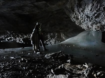
Grotte Casteret
74 min walk • The Grotte Casteret, also known by its Spanish names Gruta de Casteret or Gruta Helada de Casteret, is a limestone ice cave, located high in the Spanish Pyrenees, within the Ordesa y Monte Perdido National Park.
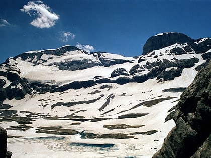
1.3 miS National park peak with hiking and moreMonte Perdido, Ordesa y Monte Perdido National Park
34 min walk • Monte Perdido is the third highest mountain in the Pyrenees. The summit of Monte Perdido, located in Spain, lies hidden from France by the seemingly impenetrable peaks of the Cirques of Gavarnie and Estaubé. It stands in the north of Huesca province.
 Nature, Natural attraction, Mountain
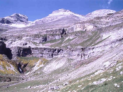
Soum de Ramond, Ordesa y Monte Perdido National Park
38 min walk • Soum de Ramond, also known as Pico de Añisclo in Spanish and Aragonese, is a mountain of 3,263 metres in the Monte Perdido massif in the Aragonese Pyrenees in northern Spain.
2.7 miSE 42°39'0"N • 0°3'0"EPyrénées – Mont Perdu World Heritage Site, Ordesa y Monte Perdido National Park
70 min walk • The Pyrénées – Mont Perdu World Heritage Site is a World Heritage Site straddling the border between Spain and France in the Pyrenees mountain chain. The summit of Monte Perdido is on the Spanish side of the border. The site was designated in 1997 and extended north in 1999 to include the Commune of Gèdre in France.
