Épaule du Marboré
Map
Gallery
Facts and practical information
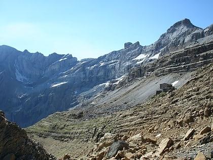
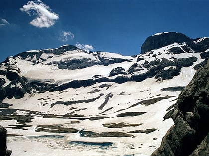
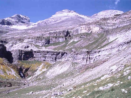
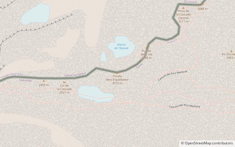
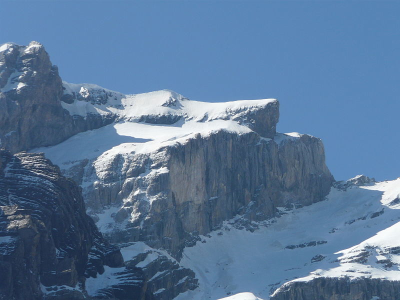
Épaule du Marboré is a pyrenean summit, culminating at 3,073 m in the Monte Perdido Range, marking the Franco-Spanish border. It lies on the Greenwich meridien. ()
Location
Aragon
ContactAdd
Social media
Add
Day trips
Épaule du Marboré – popular in the area (distance from the attraction)
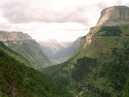
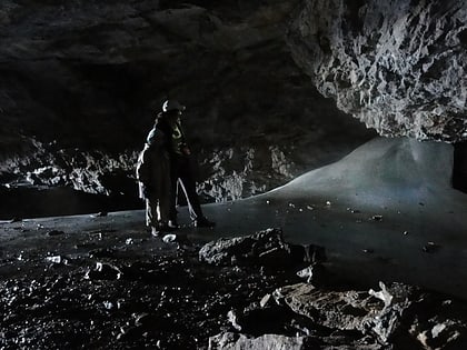
Nearby attractions include: Pic du Taillon, Cilindro de Marboré, Ordesa Valley, Grotte Casteret.
