Ordesa Valley, Ordesa y Monte Perdido National Park
Gallery (3)
Map
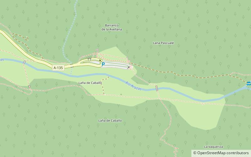
Map
Gallery
Facts and practical information
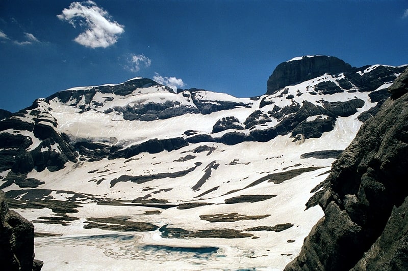
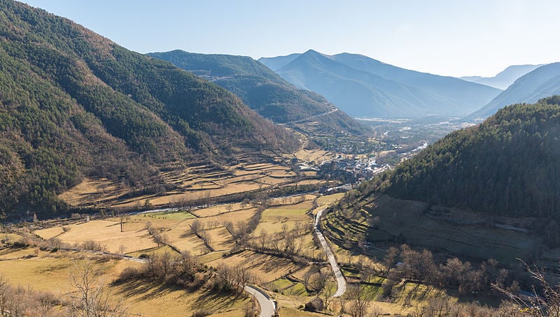
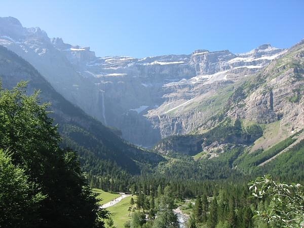
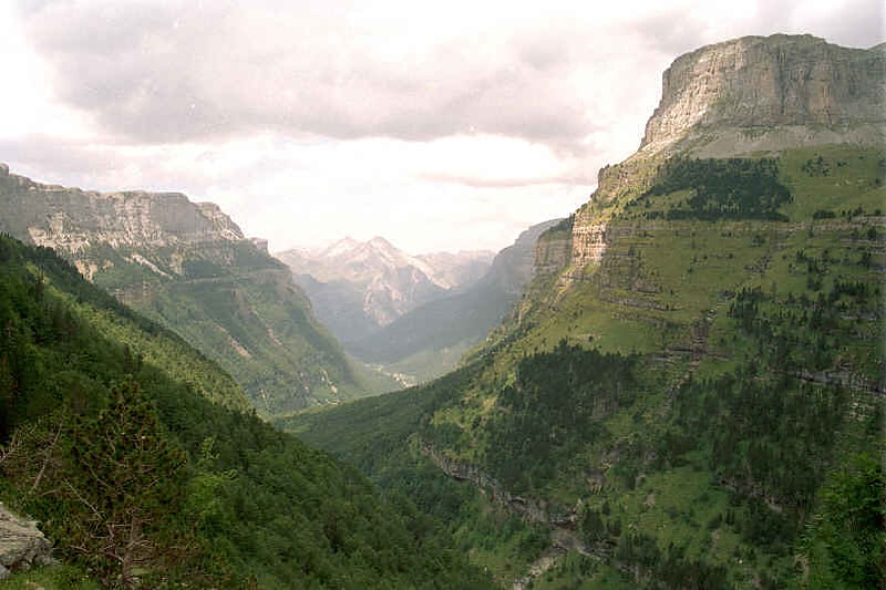
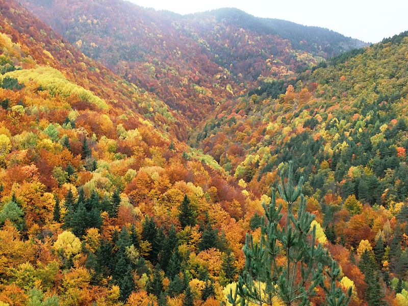
The Ordesa Valley is a glacial valley in Aragon, in the Spanish Pyrenees which forms part of the Ordesa y Monte Perdido National Park. It was first discovered in 1820, but not mapped in detail until approximately the 1920s. The valley is about 11 kilometres long. ()
Address
Ordesa y Monte Perdido National Park
ContactAdd
Social media
Add
Day trips