Refugio de Bachimaña
Map

Map

Facts and practical information
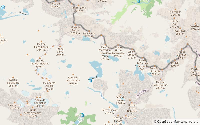
The Refuge of Bachimaña Alto, is a small unguarded forest refuge in the municipality of Panticosa at 2,225 m altitude. It has a capacity for 8 people without bunk beds and without any kind of services. It is located on the left bank of the Ibón de Bachimaña Alto and is surrounded by a group of glacial cirques and a large number of ibones and great peaks. It is owned by EISA.
Administratively it is located within the municipality of Panticosa, in the Alto Gállego region, in the province of Huesca in the Autonomous Community of Aragon.
Coordinates: 42°47'21"N, 0°13'16"W
Location
Aragon
ContactAdd
Social media
Add
Day trips
Refugio de Bachimaña – popular in the area (distance from the attraction)
Nearby attractions include: Ibón de Bachimaña Alto, Balaïtous, Clot de la Hount, Ibón de Tebarray.


