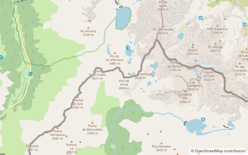
Pico de Arriel
Map

Map

Facts and practical information
Pic d’Ariel - a peak in Pyrenees. It lies on the border between Spain and France. It belongs to the Central-West Pyreneje subgroup in central pyrenees.
The first entry was made by Henri Saget in 1851.
Coordinates: 42°50'3"N, 0°19'53"W
Location
Aragon
ContactAdd
Social media
Add
Day trips
Pico de Arriel – popular in the area (distance from the attraction)
Nearby attractions include: Ibón de Bachimaña Alto, Balaïtous, Ibón de Tebarray, Refugio de los Ibones de Bachimaña.


