Playa de Antuerta, Bareyo

Gallery (1)
Map
Map
Facts and practical information
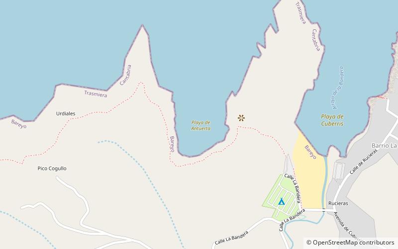
Antuerta beach is located adjacent to Cuberris beach, in the municipality of Bareyo, in the Autonomous Community of Cantabria, embedded in a cliff.
It is very frequented by surfers.
Elevation: 16 ft a.s.l.Coordinates: 43°29'48"N, 3°37'12"W
Address
Bareyo
ContactAdd
Social media
Add
Day trips


