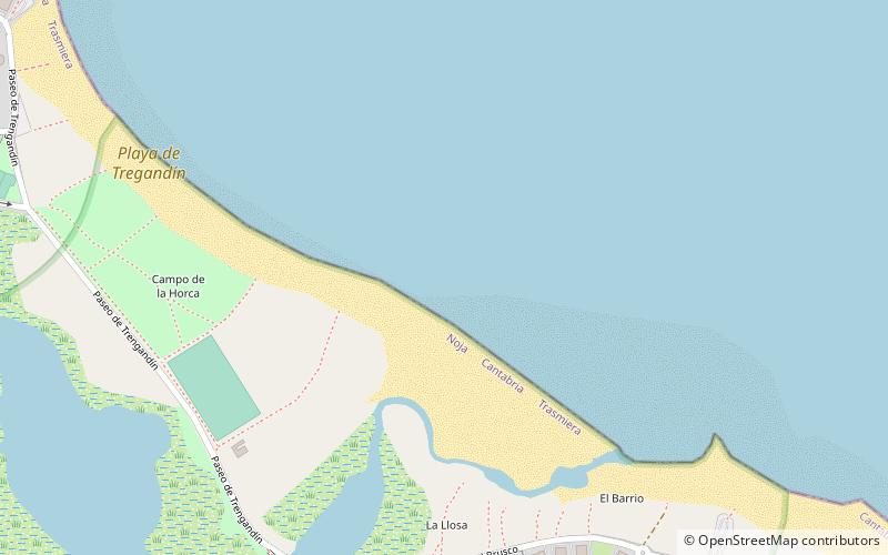
Playa de Tregandín, Santoña
#2 among attractions in Santoña


Facts and practical information
Tregandín beach is located in the municipality of Noja, in the Autonomous Community of Cantabria, Spain.
It is frequented by nudists.
Santoña Spain
Playa de Tregandín – popular in the area (distance from the attraction)
Nearby attractions include: Santa Olaja mill, Playa de la Salvé, Playa del Sable, Playa de Berria.
 Museum
Santa Olaja mill, Santoña
54 min walk • The Santa Olaja mill is located in the Joyel Marshes in Soano, in the municipality of Arnuero in the autonomous community of Cantabria, Spain. It was declared a Bien de Interés Cultural in November 2013.
 Beach
BeachPlaya de la Salvé
139 min walk • La Salvé is a beach in Laredo, in the autonomous community of Cantabria, which stretches for 4,250 metres, parallel to the widening of the town, between the old port and the sandy point that frames the bay of Santoña to the south.
 Beach, Outdoor activities, Park
Playa del Sable
57 min walk • The beach of El Sable or Quejo beach is located in the municipality of Arnuero. It has been awarded the Blue Flag.
 Beach
BeachPlaya de Berria, Santoña
61 min walk • Berria beach is located in the municipality of Santoña. It is a beach on the isthmus that joins the peninsula formed by Mount Buciero with the municipality of Argoños. It is 2,200 metres long and stretches between Mount Brusco to the west and the...
 Beach
BeachPlaya de Cuberris
139 min walk • Cuberris beach is located in the municipality of Bareyo, in the autonomous community of Cantabria, Spain.
 Church
Iglesia de Santa María del Puerto, Santoña
96 min walk • The church of Santa María del Puerto located in the town of Santoña is a Romanesque style temple from the first half of the 13th century. It was declared a National Monument on the 3rd of June 1931.
 Beach
BeachPlaya del Regatón, Santoña
123 min walk • The beach of El Regatón is in Laredo, Cantabria. It begins at Puntal de Playa de la Salvé and runs along the bed of the Ría de Treto for 2,900 m, until it ends in the municipality of Colindres, next to the Regatón stream.
 Historical place, Forts and castles
Fuerte de San Martín, Santoña
103 min walk • The geographical situation of the town of Santoña with its Monte Buciero was considered privileged since ancient times as a strategic position to prevent access to the bay. However, since the 16th century there was already an awareness of how...
 Forts and castles
Fuerte de San Carlos, Santoña
113 min walk • The geographical situation of the town of Santoña with its Monte Buciero was considered privileged since ancient times as a strategic position to prevent access to the bay. However, since the 16th century, people were already aware of how poorly...

 Forts and castles
Casona de El Carmen
114 min walk • The Palace of Rugama with its chapel is located in the district of La Bodega in the town of Bárcena de Cicero in the municipality of the same name. It was ordered to be built in 1740 by Lorenzo de Rugama who was administrator of the Acapulco and...
