Los Campitos Reservoir, Santa Cruz de Tenerife
Map
Gallery
Facts and practical information
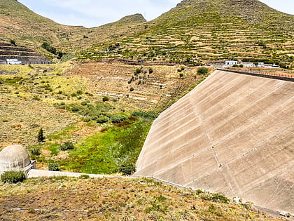
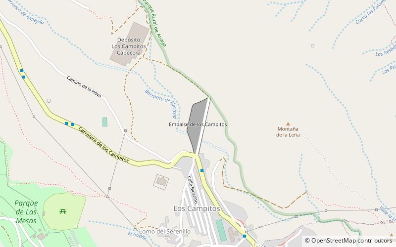
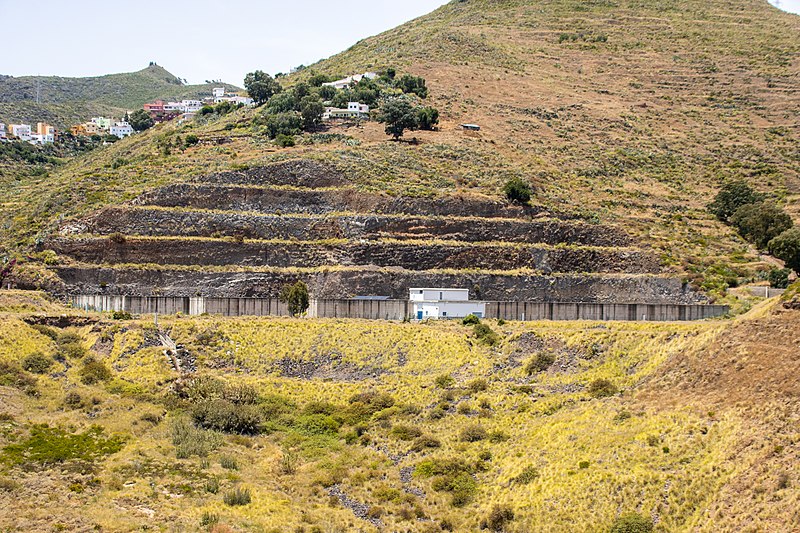
Los Campitos Reservoir is located in the Anchieta ravine, near Los Campitos, above Santa Cruz de Tenerife, in the Canary Islands. The dam was constructed in the 1970s, after which it was discovered that the basin could not hold water. It was subsequently waterproofed in 1978, but has never held water. It was remodeled in the early 2000s, with an enclosed tank and a new pipeline constructed. A study has been conducted to build a hydroelectric plant at the reservoir. ()
Coordinates: 28°29'16"N, 16°15'45"W
Address
Santa Cruz de Tenerife
ContactAdd
Social media
Add
Day trips
Los Campitos Reservoir – popular in the area (distance from the attraction)
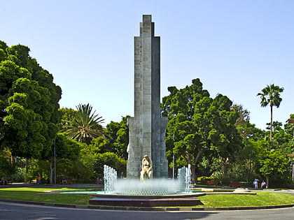
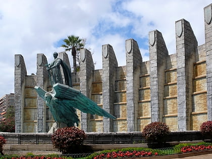
Nearby attractions include: Parque García Sanabria, Monument to Franco, Museo Histórico Militar de Canarias, Capilla de las Siervas de María.
Frequently Asked Questions (FAQ)
How to get to Los Campitos Reservoir by public transport?
The nearest stations to Los Campitos Reservoir:
Bus
Bus
- Hibisco • Lines: 228, 902, 912 (4 min walk)
- Los Campitos • Lines: 228, 902, 912 (9 min walk)
