Trek Zone

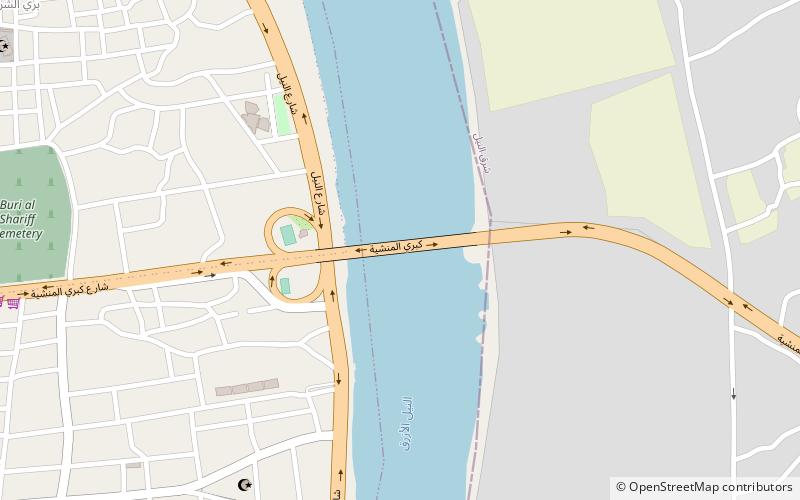
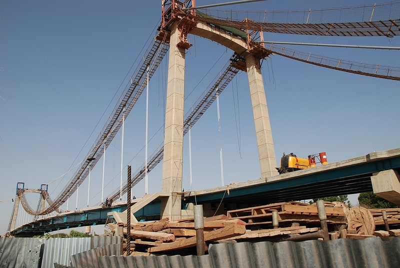
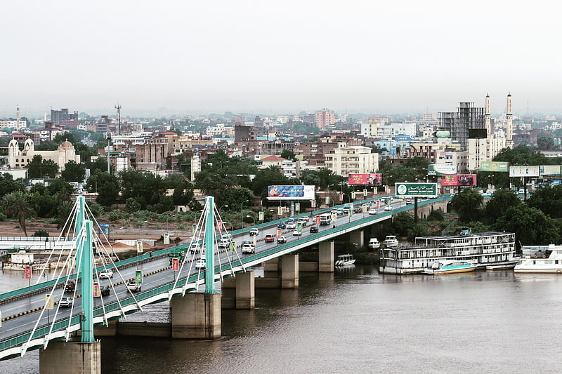
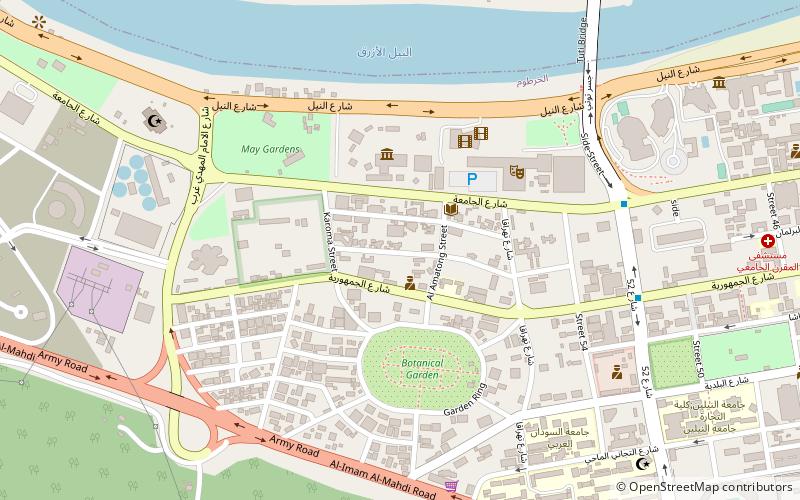
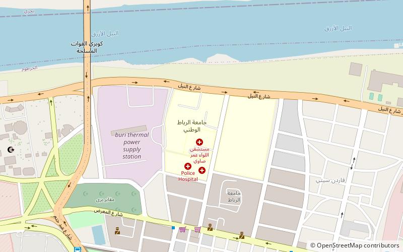
Al Mansheiya Bridge, Khartoum
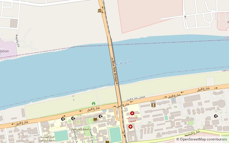
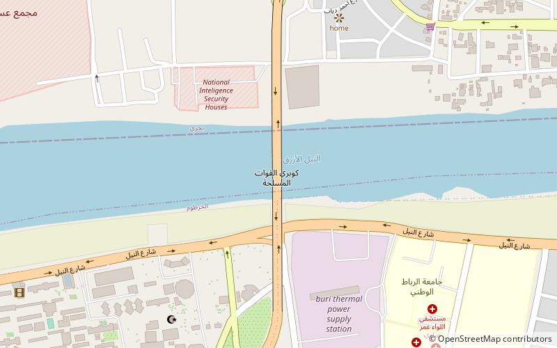
#19 among attractions in Khartoum

Bridge
Al Mansheiya Bridge location map
Map

Facts and practical information

Local name: جسر المنشيةCoordinates: 15°35'56"N, 32°35'23"E
Address

Khartoum Sudan

ContactAdd
Social media
Add
Day trips

Al Mansheiya Bridge – popular in the area (distance from the attraction)

Nearby attractions include: Souq al Arabi, Tuti Bridge, St. Matthew's Cathedral, El Mek Nimr Bridge.

  • souq al arabi khartoum location map
    4.3 miW
  • tuti bridge khartoum5.1 miW
  • st matthews cathedral khartoum3.8 miW
  • mac nimir bridge khartoum3.9 miW
  • blue nile road and railway bridge khartoum location map
    3.2 miW
  • cooper bridge khartoum location map
    2.6 miNW
  • khartoum memorial location map
    3.5 miW
  • al mogran khartoum location map
    5.4 miW
  • university of khartoum3.3 miW
  • national ribat university khartoum location map
    2.2 miNW
  • international university of africa khartoum4.9 miS

Frequently Asked Questions (FAQ)

How to get to Al Mansheiya Bridge by public transport?

The nearest stations to Al Mansheiya Bridge:

Bus
  • المثلث (20 min walk)

Where to next? Visit khartoum Khartoum region page or discover the top tourist attractions in Sudan.