Stockholm/Kungsholmen, Stockholm
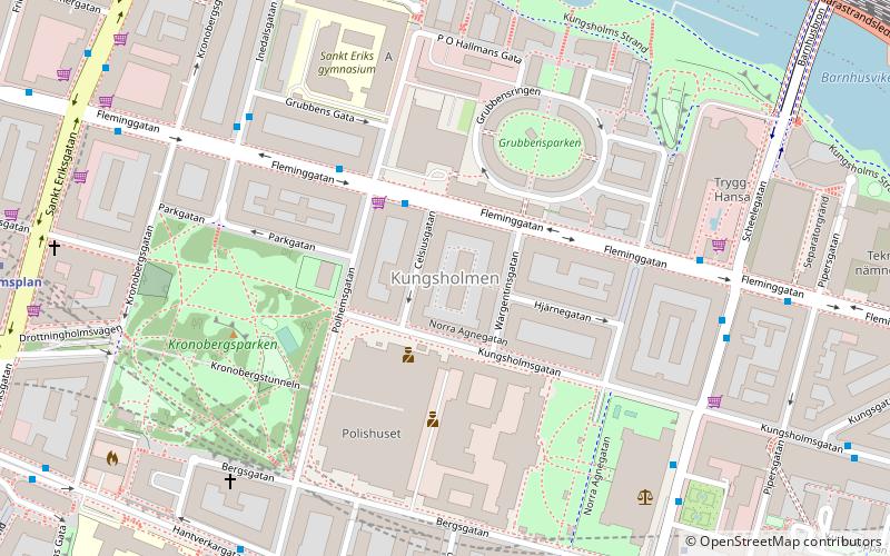
Map
Gallery
Facts and practical information
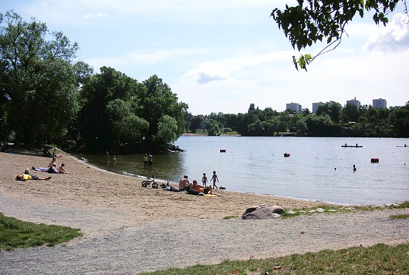
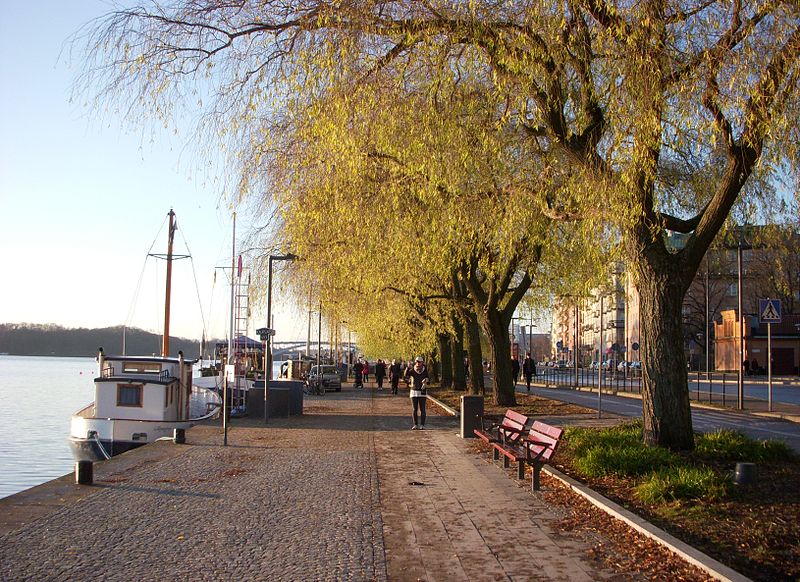
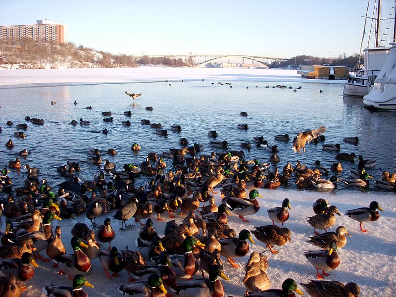
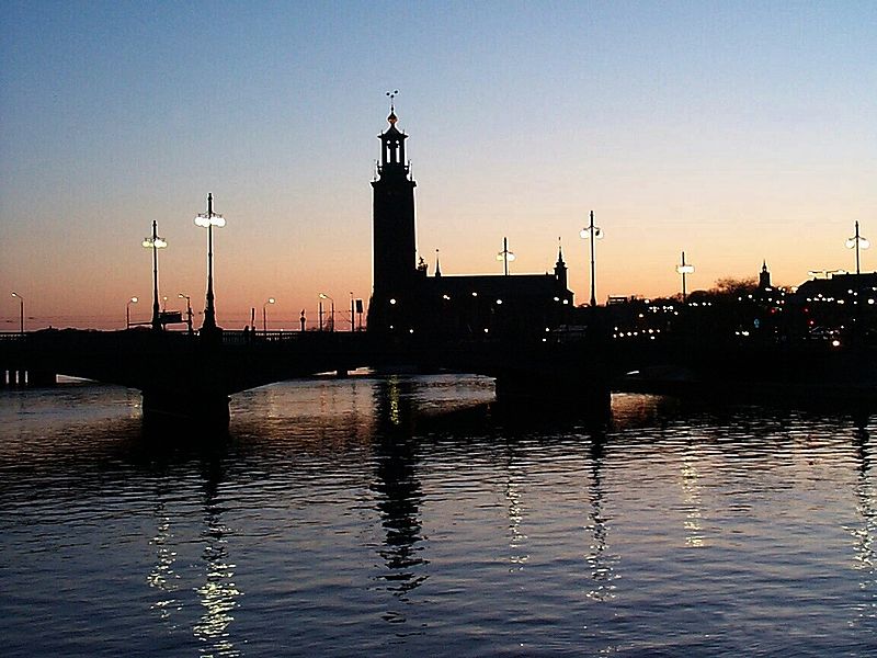
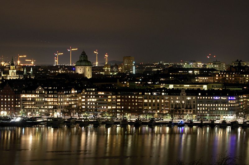
Kungsholmen is an island in Lake Mälaren in Sweden, part of central Stockholm, Sweden. It is situated north of Riddarfjärden and considered part of the historical province Uppland. Its area is 3.9 km2 with a perimeter of 8.9 km. The highest point is at Stadshagsplan at 47 metres. The total population is 71,542. ()
Address
Kungsholmen (Marieberg)Stockholm
ContactAdd
Social media
Add
Day trips
Stockholm/Kungsholmen – popular in the area (distance from the attraction)
Nearby attractions include: Västermalmsgallerian, Smedsuddsbadet, Västerbron, Karlberg Palace.
Frequently Asked Questions (FAQ)
Which popular attractions are close to Stockholm/Kungsholmen?
Nearby attractions include Västerbroplan, Stockholm (5 min walk), Rålambshovsparken, Stockholm (7 min walk), Thorildsplan, Stockholm (7 min walk), Fridhemsplan, Stockholm (8 min walk).
How to get to Stockholm/Kungsholmen by public transport?
The nearest stations to Stockholm/Kungsholmen:
Bus
Metro
Ferry
Tram
Train
Bus
- Mariebergsgatan • Lines: 1, 196, 197, 198, 4, 405, 54, 56, 61, 74, 77, 91, 94 (3 min walk)
- Västerbroplan • Lines: 1, 151, 153, 4, 405, 54, 56, 61, 726, 74, 743, 745, 77, 91, 94, Flygbussarna (5 min walk)
Metro
- Thorildsplan • Lines: 17, 18, 19 (8 min walk)
- Fridhemsplan • Lines: 10, 11, 17, 18, 19 (9 min walk)
Ferry
- Lilla Essingen • Lines: 89, Båt (18 min walk)
- Hornsbergs Strand • Lines: Båt (23 min walk)
Tram
- Gröndal • Lines: 30 (29 min walk)
- Stora Essingen • Lines: 30 (29 min walk)
Train
- Stockholms central (30 min walk)
- Stockholm Odenplan (31 min walk)



 Metro
Metro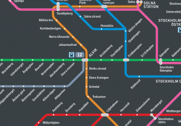 Rail network map


