Stausee Solis
Map
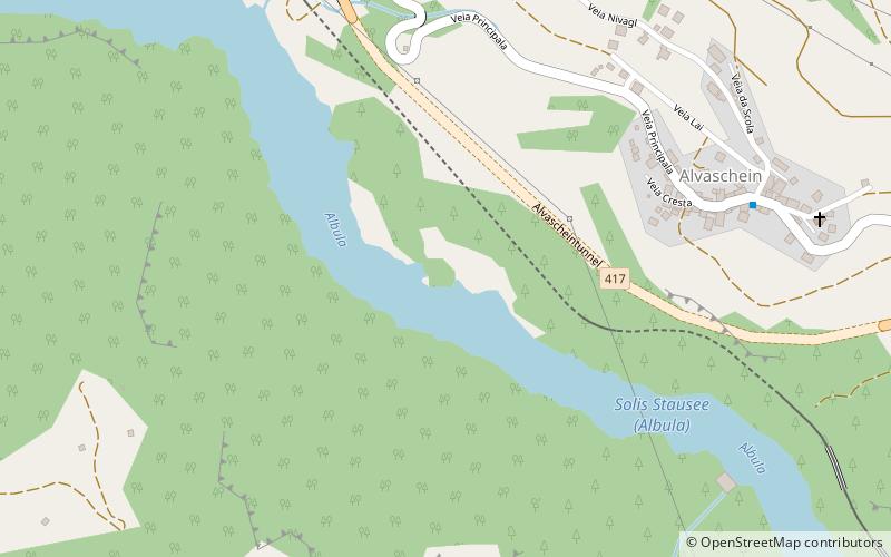
Map

Facts and practical information
The Stausee Solis is a reservoir on the Albula river, located between Alvaschein, Stierva and Tiefencastel, in the canton of Graubünden. ()
Alternative names: Area: 59.31 acres (0.0927 mi²)Elevation: 2812 ft a.s.l.Coordinates: 46°40'25"N, 9°32'42"E
Location
Graubünden
ContactAdd
Social media
Add
Day trips
Stausee Solis – popular in the area (distance from the attraction)
Nearby attractions include: Viamala, Vaz/Obervaz, Heidsee, Solis Viaduct.


