Riom Castle

Gallery (2)
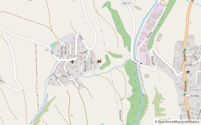
Map
Map
Gallery
Facts and practical information
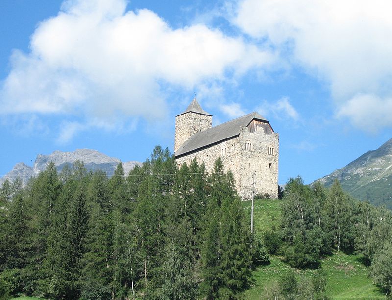
Riom Castle is a castle in the village of Riom-Parsonz of the Canton of Graubünden in Switzerland. It is a Swiss heritage site of national significance. ()
Day trips
Riom Castle is a castle in the village of Riom-Parsonz of the Canton of Graubünden in Switzerland. It is a Swiss heritage site of national significance. ()
Where to next? Visit ![]() Graubünden region page or discover the top tourist attractions in Switzerland.
Graubünden region page or discover the top tourist attractions in Switzerland.


