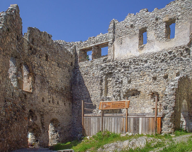
Belfort

Gallery (2)
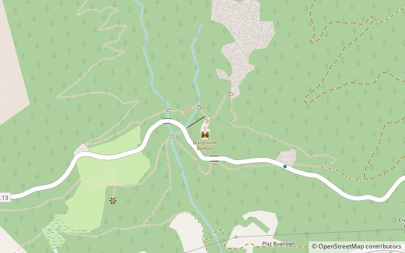
Map
Map
Gallery
Facts and practical information
Belfort Castle is a ruined castle in the municipality of Brienz/Brinzauls of the Canton of Graubünden in Switzerland. It is a Swiss heritage site of national significance. ()
Local name: Burg Belfort Built: 1222 (804 years ago)Demolished: 1499Coordinates: 46°40'16"N, 9°36'37"E
Location
Graubünden
ContactAdd
Social media
Add
Day trips


