St. Agatha, Dietikon
Map
Gallery

Facts and practical information
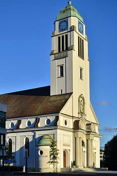
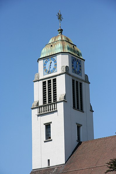
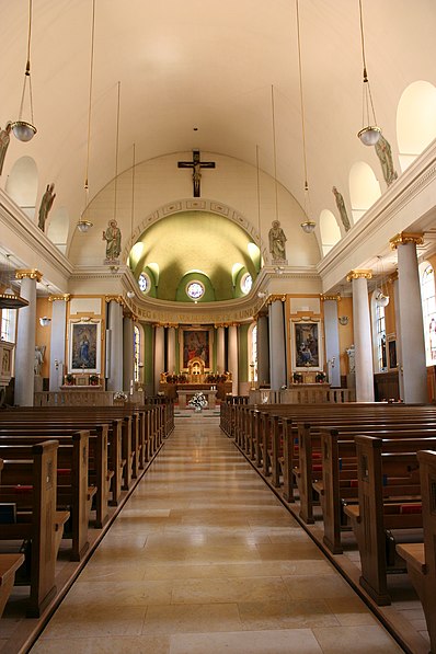
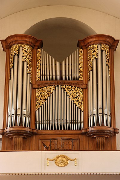
The church of St. Agatha is one of the two Roman Catholic parish churches of Dietikon in the canton of Zurich. It stands in the city center in the immediate vicinity of Dietikon railroad station.
Coordinates: 47°24'18"N, 8°24'14"E
Day trips
St. Agatha – popular in the area (distance from the attraction)
Nearby attractions include: Driving Range Golfpoint Urdorf, Fahr Convent, Egelsee, Kletterzentrum Gaswerk AG.
Frequently Asked Questions (FAQ)
Which popular attractions are close to St. Agatha?
Nearby attractions include Glanzenberg Castle, Dietikon (19 min walk), St. Josef, Dietikon (21 min walk).


