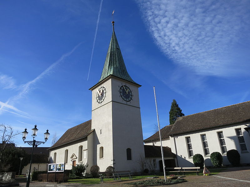
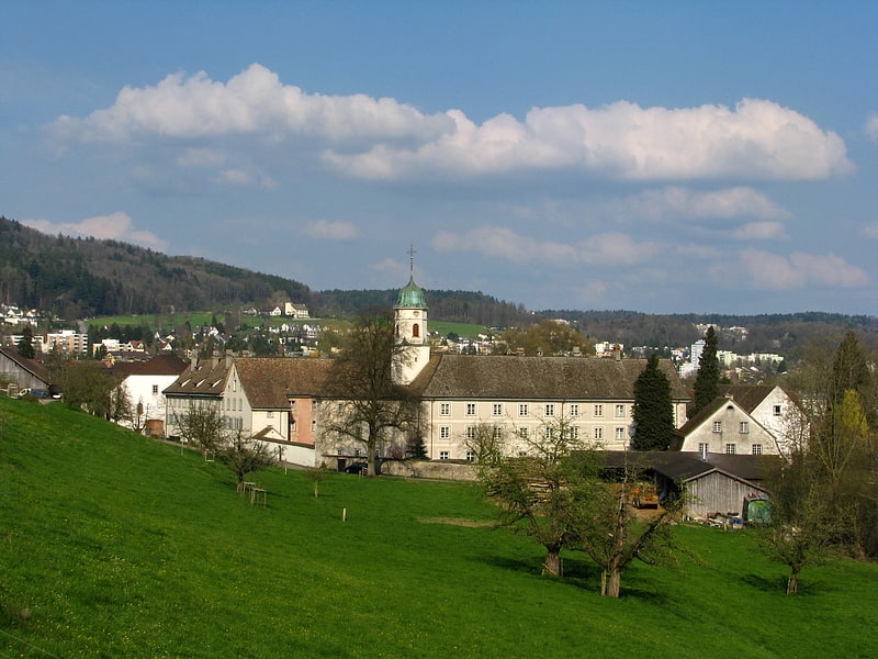
Schlieren, Zurich

Gallery (4)
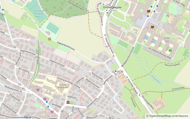
Map

Map
Gallery
Facts and practical information
Schlieren is a municipality in the district of Dietikon in the canton of Zürich in Switzerland. ()
Getting there by public transportation
Public transportation stops near this location
- Bus
- Tram
- Train
 Bus
Bus
- Calculate routeBrunngasse 1 min walk
- Calculate routeSchlieren Zentrum/Bahnhof 2 min walk
- Calculate routeSchlieren Bahnhof 5 min walk
- Calculate routeKampstrasse 6 min walk
- Calculate routeSchlieren Zentrum/Bahnhof 2 min walk
- Calculate routeGeissweid 5 min walk
- Calculate routeWagonsfabrik 8 min walk
- Calculate routeGasometerbrücke 15 min walk
- Calculate routeSchlieren 4 min walk
- Calculate routeUrdorf 20 min walk
- Calculate routeWeihermatt 36 min walk
Day trips


Frequently Asked Questions (FAQ)
How to get to Schlieren by public transport?
The nearest stations to Schlieren:
Bus
Tram
Train
Bus
- Brunngasse • Lines: 201, 308, N30 (1 min walk)
- Schlieren Zentrum/Bahnhof • Lines: 201, 302, 303, 308, N2, N30 (2 min walk)
Tram
- Schlieren Zentrum/Bahnhof • Lines: 2 (2 min walk)
- Geissweid • Lines: 2 (5 min walk)
Train
- Schlieren (4 min walk)
- Urdorf (20 min walk)