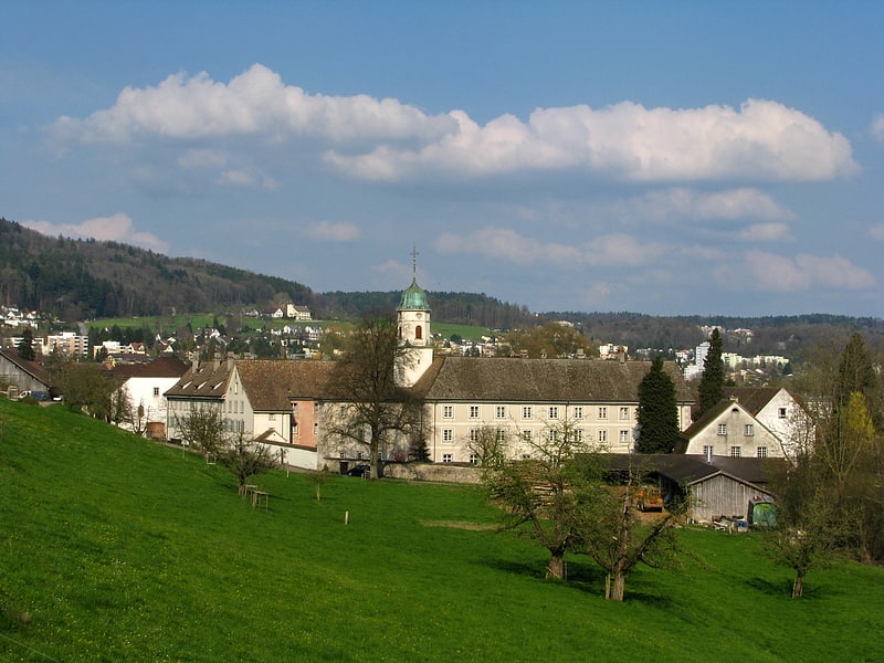
Driving Range Golfpoint Urdorf, Urdorf

Gallery (1)
Map
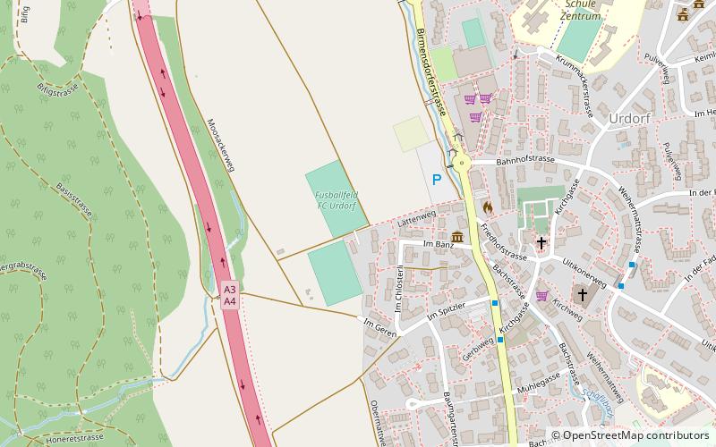
Map
Facts and practical information
Driving Range Golfpoint Urdorf is a place located in Urdorf (Zürich canton) and belongs to the category of golf.
It is situated at an altitude of 1352 feet, and its geographical coordinates are 47°22'59"N latitude and 8°25'10"E longitude.
Among other places and attractions worth visiting in the area are: St. Josef, Dietikon (church, 25 min walk), Glanzenberg Castle, Dietikon (forts and castles, 33 min walk), Schlieren, Zurich (area, 43 min walk).
Coordinates: 47°22'59"N, 8°25'10"E
Day trips