Tête de Valpelline
#393 among destinations in Switzerland


Facts and practical information
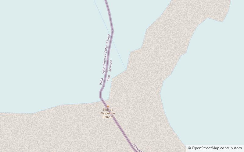
Tête de Valpelline is a mountain of the Pennine Alps, located on the Swiss-Italian border. It lies west of the Dent d'Hérens, between the valleys of Mattertal and Valpelline. ()
ValaisSwitzerland
Tête de Valpelline – popular in the area (distance from the attraction)
Nearby attractions include: Hörnli Hut, Matterhorn, Dent Blanche, Bertol Hut.
 Hiking, Alpine hut, Vernacular architecture
Hörnli Hut, Zermatt
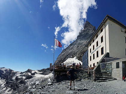
116 min walk • Perched at the edge of the Swiss Alps, the Hörnli Hut serves as a beacon for mountaineers seeking to conquer the iconic Matterhorn. Located near the city of Zermatt, Switzerland, this alpine hut is not just a shelter but a pivotal part of climbing history.
 Iconic mountain with a steep ascent
Matterhorn, Zermatt
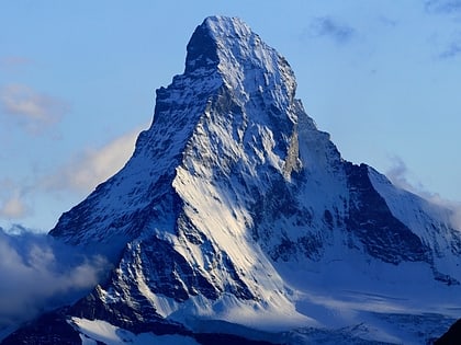
93 min walk • The Matterhorn is a mountain of the Alps, straddling the main watershed and border between Switzerland and Italy. It is a large, near-symmetric pyramidal peak in the extended Monte Rosa area of the Pennine Alps, whose summit is 4,478 metres high, making it one of the highest summits in the Alps and Europe.
 Tall mountain for long, guided climbs
Dent Blanche
109 min walk • The Dent Blanche is a mountain in the Pennine Alps, lying in the canton of Valais in Switzerland. At 4,358 metres-high, it is one of the highest peaks in the Alps.
 Alpine hut, Hiking
Bertol Hut
86 min walk • The Bertol Hut is a mountain hut overlooking the Bertol Pass, south of Arolla in the Swiss canton of Valais. It is known for its precarious position on a ridge at 3,311 metres south of the Pointe de Bertol and is accessed by a number of fixed ladders and chains from the glacier pass. All accesses to the hut involve glacier crossing.
 Alpine hut, Hiking
Schönbiel Hut
73 min walk • The Schönbiel Hut is a mountain hut located north of the Matterhorn. It is situated at 2,694 metres above sea level, north of the Zmutt Glacier, a few kilometers west of the town of Zermatt in the canton of Valais in Switzerland.
 Alpine hut, Hiking
Dent Blanche Hut
81 min walk • The Dent Blanche Hut is a mountain hut of the Swiss Alpine Club, located south of Les Haudères in the canton of Valais. The hut lies at a height of 3,507 metres above sea level, at the foot of the Dent Blanche in the Pennine Alps.
 Nature, Natural attraction, Mountain
Aiguille de la Tsa
109 min walk • The Aiguille de la Tsa is a mountain of the Swiss Pennine Alps, overlooking Arolla in the canton of Valais. It lies on the range culminating at the Dent de Perroc, between the valley of Arolla and the Mont Miné Glacier.
 Nature, Natural attraction, Mountain
L'Evêque
100 min walk • L'Evêque is a mountain of the Pennine Alps, overlooking the Col Collon in the canton of Valais, south of Mont Collon. With a height of 3,716 meters above sea level, it is one of the highest summits in the Arolla valley.
 Nature, Natural attraction, Mountain
Mont Collon
92 min walk • Mont Collon is a mountain of the Swiss Pennine Alps in the canton of Valais. Its glaciated north face dominates the view south from the village of Arolla. The ascent over the West Ridge, first made by A. Cust and F. Gardiner with the guides Peter Knubel and Johannes Knubel of St.
 Nature, Natural attraction, Mountain
Pennine Alps
95 min walk • The Pennine Alps, also known as the Valais Alps, are a mountain range in the western part of the Alps. They are located in Switzerland and Italy.
 Nature, Natural attraction, Mountain
Pointe de Bertol
89 min walk • The Pointe de Bertol is a mountain of the Swiss Pennine Alps, located south of Arolla in the canton of Valais. Its southern side overlooks the Bertol Pass. The Bertol Hut is located at the southern base of the peak.
