Dent Blanche

Gallery (2)
Map
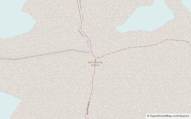
Map
Gallery
Facts and practical information
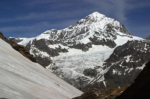
The Dent Blanche is a mountain in the Pennine Alps, lying in the canton of Valais in Switzerland. At 4,358 metres -high, it is one of the highest peaks in the Alps. ()
Location
Valais
ContactAdd
Social media
Add
Day trips