Lago di Cama
#208 among destinations in Switzerland
![Lago di Cama location map](https://tzmedia.b-cdn.net/media/images/static-maps/ch/46_2551_9_22711.jpg)
Facts and practical information
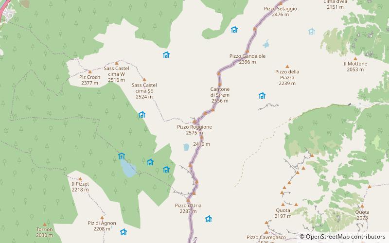
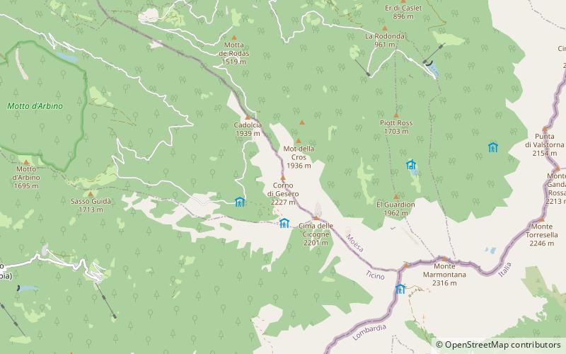
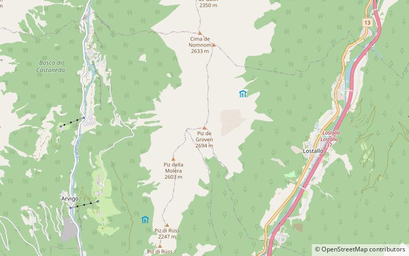
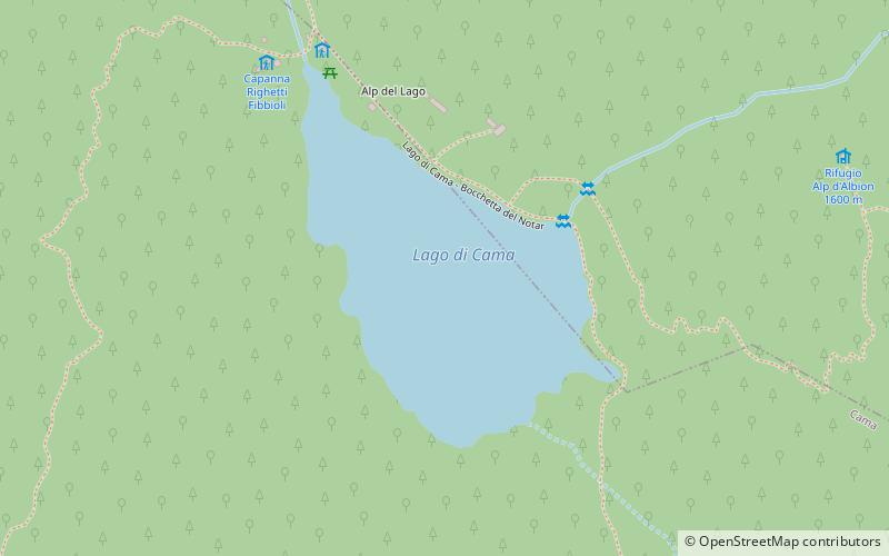
Lago di Cama is a lake in the Cama valley, a side valley of Val Mesolcina in the Grisons, Switzerland. ()
GraubündenSwitzerland
Lago di Cama plan & book
Unleash the traveler in you — discover the cheapest flight deals, find the perfect hotel or hostel nearby, and search for the best car rental prices. Travel at your own pace to discover new places and enjoy your journey.
Lago di Cama – popular in the area (distance from the attraction)
Nearby attractions include: Santa Maria in Calanca Castle, Norantola Castle, Torre Fiorenzana, Pizzo Paglia.
3.9 miWForts and castlesSanta Maria in Calanca Castle
100 min walk • Santa Maria in Calanca Castle is a tower in the municipality of Santa Maria in Calanca of the Canton of Graubünden in Switzerland. It, along with the neighboring Church of the Assumption of St. Mary, are both Swiss heritage sites of national significance.
3.1 miNWForts and castlesNorantola Castle
79 min walk • Norantola Castle is a ruined castle in the municipality of Cama of the Canton of Graubünden in Switzerland.
3.7 miWForts and castlesTorre Fiorenzana
94 min walk • Torre Fiorenzana is a castle in the municipality of Grono of the Canton of Graubünden in Switzerland. It is a Swiss heritage site of national significance.
1.7 miSNature, Natural attraction, MountainPizzo Paglia
43 min walk • Pizzo Paglia is a mountain of the Lepontine Alps, overlooking the Val Cama in the canton of Graubünden. The border with Italy runs 300 metres south of the summit.
5.5 miWNeighbourhoodMoesa District, San Vittore
140 min walk • Moesa District, often referred to as Moesano, is a former administrative district in the canton of Graubünden, Switzerland. It had an area of 473.74 km² corresponding to the Val Mesolcina, the valley of the eponymous Moesa River.
1.4 miNENature, Natural attraction, MountainPiz de Cressim
35 min walk • Piz de Cressim is a mountain of the Lepontine Alps on the Swiss-Italian border. On its west side lies the Val Cama and on its east side lies the Valle Bodengo. It is popular among climbers and mountain walkers.
6.6 miSWNature, Natural attraction, MountainCorno di Gesero
170 min walk • The Corno di Gesero is a mountain of the Lepontine Alps, located on the border between the Swiss cantons of Ticino and Graubünden. It lies on the range west of the Cima di Cugn, between the Valle d'Arbedo and the Val Traversagna.
7.6 miNWNature, Natural attraction, ValleyVal Calanca
194 min walk • The Val Calanca is a valley of the Swiss Alps, located in the Lepontine Alps. The valley is drained by the Calancasca, a tributary of the Moesa, at Roveredo.
4.3 miNLocalityLostallo
109 min walk • Lostallo is a municipality in the Moesa Region in the Swiss canton of Graubünden.
5.4 miNWNatural attraction, MountainPiz de Groven
139 min walk • Piz de Groven is a mountain of the Lepontine Alps, located between Selma and Lostallo in the Swiss canton of Graubünden. With an elevation of 2,694 metres above sea level, it is the highest summit of the chain south of Pass de Buffalora.
3 miWLocalityCama
76 min walk • Cama is a municipality in the Moesa Region in the Swiss canton of Graubünden.