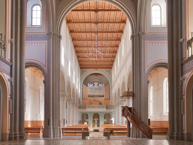
Stadtkirche Glarus, Glarus

Gallery (3)
Map
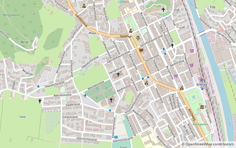
Map
Gallery
Facts and practical information
The Stadtkirche Glarus is the main Reformed church for the city of Glarus in the canton of Glarus in Switzerland. ()
Day trips
The Stadtkirche Glarus is the main Reformed church for the city of Glarus in the canton of Glarus in Switzerland. ()
Where to next? Visit ![]() Glarus region page or discover the top tourist attractions in Switzerland.
Glarus region page or discover the top tourist attractions in Switzerland.