Fällanden, Zurich

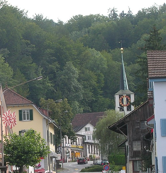
Gallery (2)
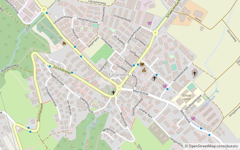
Map
Map
Gallery
Facts and practical information
Fällanden is a municipality in the district of Uster in the canton of Zürich in Switzerland, and belongs to the Glatt Valley. ()
Getting there by public transportation
Public transportation stops near this location
- Bus
- Train
- Ferry
 Bus
Bus
- Calculate routeFällanden Gemeindehaus 2 min walk
- Calculate routeWigarten 4 min walk
- Calculate routeZil 5 min walk
- Calculate routeEggler 6 min walk
- Calculate routeFällanden 20 min walk
- Calculate routeSchwerzenbach 33 min walk
Day trips


Frequently Asked Questions (FAQ)
How to get to Fällanden by public transport?
The nearest stations to Fällanden:
Bus
Ferry
Train
Bus
- Fällanden Gemeindehaus • Lines: 704, 705, 743, 744, 745 (2 min walk)
- Wigarten • Lines: 743, 744, 745 (4 min walk)
Ferry
- Fällanden (20 min walk)
Train
- Schwerzenbach (33 min walk)