Rotsandnollen
#844 among destinations in Switzerland


Facts and practical information
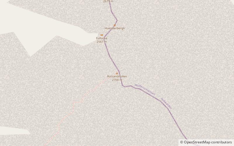
The Rotsandnollen is a mountain of the Urner Alps, located between Melchsee-Frutt and Engelberg in Central Switzerland. The summit is located on the border between the cantons of Nidwalden and Obwalden. ()
ObwaldenSwitzerland
Rotsandnollen – popular in the area (distance from the attraction)
Nearby attractions include: Titlis, Trübsee, Engstlensee, Tannensee.
 Skiing area with world's 1st cable car
Titlis
124 min walk • Titlis, a majestic peak in the Uri Alps of Switzerland, beckons adventurers and sightseers alike with its snow-capped splendor. Rising to an impressive 3,238 meters above sea level, this mountain is a treasure trove of alpine beauty and a hub of year-round recreational...
 High-altitude lake in ski region
Trübsee, Engelberg
58 min walk • Trübsee is an intermediate cable car station by the Titlis Bergbahnen, Trüebsee is an Alpine lake on the Ober Trüebsee Alpine pasture in the upper part of the extensive municipality of Wolfenschiessen in the Swiss canton of Nidwalden.
 Nature, Natural attraction, Lake
Engstlensee
51 min walk • Nestled in the Bernese Alps of Switzerland, Engstlensee is a serene mountain lake that captivates the hearts of nature enthusiasts and photographers alike. At an elevation of approximately 1,850 meters above sea level, this natural wonder is a hidden gem known for its...
 Nature, Natural attraction, Lake
Tannensee
66 min walk • Tannensee is a reservoir in Obwalden, Switzerland. In 1958, Tannenbach and few other creeks were dammed with an earth-fill dam. The reservoir has a volume of 3.8 mio m³ and its surface area is 33 ha. The reservoir is used to generate electricity at Kraftwerk Hugschwendi in Kerns.
 Nature, Natural attraction, Mountain
Rotstöckli
107 min walk • The Rotstöckli is a peak of the Urner Alps below the Titlis, on the border between the Swiss cantons of Obwalden and Nidwalden. It is Nidwalden's highest point. The summit is split between the municipalities of Engelberg and Wolfenschiessen.
 Nature, Natural attraction, Lake
Eugenisee, Engelberg
65 min walk • Eugenisee is a lake at Engelberg in the canton of Obwalden, Switzerland. In summer, it is stocked with brown trout and rainbow trout for fishing. In the floods of August 2005, the lake was filled with large quantities of sediments.
 Nature, Natural attraction, Mountain
Graustock, Engelberg
38 min walk • The Graustock is a mountain of the Urner Alps, located south of Engelberg in Central Switzerland. The summit is one of the two tripoints between the cantons of Berne, Nidwalden and Obwalden. On the north side of the mountain lies the Trüebsee.
 Nature, Natural attraction, Mountain
Jochstock
81 min walk • The Jochstock is a summit of the Urner Alps, located near Engelberg in Central Switzerland. The summit is one of the two tripoints between the cantons of Berne, Nidwalden and Obwalden.
 Nature, Natural attraction, Lake
Melchsee
101 min walk • Melchsee is a lake in the canton of Obwalden, Switzerland. It lends its name to the resort Melchsee-Frutt, in the municipality of Kerns. At an elevation of 1891 m, its surface area is 54 ha.
 Nature, Natural attraction, Mountain
Haupt Mountain
113 min walk • The Haupt is a mountain of the Urner Alps, located between the Klein Melchtal and the Melchtal in the canton of Obwalden. Its east side consists of steep limestone cliffs overlooking Stöckalp and Melchsee-Frutt. On its west side it overlooks the Älggi-Alp.
 Museum
Talmuseum Engelberg, Engelberg
85 min walk • The Engelberg Valley Museum is a local history museum in the listed Wappenhaus in Engelberg in the canton of Obwalden in Switzerland.
