Haupt Mountain

Gallery (1)
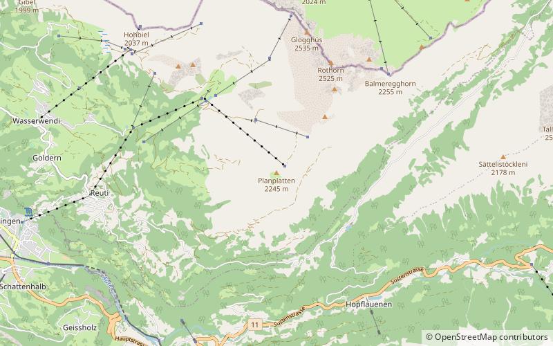
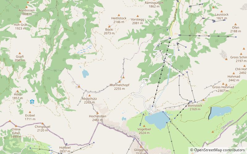
Map
Map
Facts and practical information
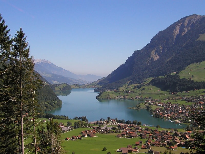
The Haupt is a mountain of the Urner Alps, located between the Klein Melchtal and the Melchtal in the canton of Obwalden. Its east side consists of steep limestone cliffs overlooking Stöckalp and Melchsee-Frutt. On its west side it overlooks the Älggi-Alp. ()
Elevation: 7589 ftProminence: 476 ftCoordinates: 46°47'14"N, 8°15'11"E
Location
Obwalden
ContactAdd
Social media
Add
Day trips