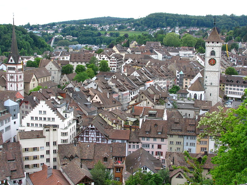
Altstadt, Winterthur
Map
Gallery
Facts and practical information
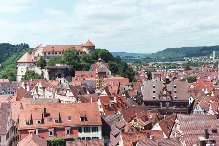
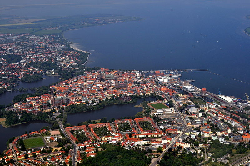
Altstadt is the German language word for "old town", and generally refers to the historical town or city centre within the old town or city wall, in contrast to younger suburbs outside. Neustadt, the logical opposite of Altstadt, mostly stands for a part of the "Altstadt" in modern sense, sometimes only a few years younger than the oldest part, e. g. a late medieval enlargement. ()
Local name: Liste von Städten mit historischem Stadtkern in Deutschland Coordinates: 47°29'55"N, 8°43'35"E
Address
Winterthur
ContactAdd
Social media
Add
Day trips
Altstadt – popular in the area (distance from the attraction)
Nearby attractions include: Am Römerholz, Kunstmuseum Winterthur, Fotomuseum Winterthur, Vitudurum.
Frequently Asked Questions (FAQ)
Which popular attractions are close to Altstadt?
Nearby attractions include Stadt, Winterthur (3 min walk), Town Church, Winterthur (3 min walk), Gewerbemuseum, Winterthur (4 min walk), ZHAW, Winterthur (5 min walk).
How to get to Altstadt by public transport?
The nearest stations to Altstadt:
Bus
Trolleybus
Train
Bus
- Schmidgasse • Lines: 10, 5, 7, N60, N61, N64, N68 (3 min walk)
- Archstrasse/HB • Lines: 12, 4, 660 (4 min walk)
Trolleybus
- Schmidgasse • Lines: 1, 3 (3 min walk)
- Hauptbahnhof • Lines: 1, 2, 3 (4 min walk)
Train
- Winterthur (5 min walk)
- Winterthur Töss (25 min walk)


