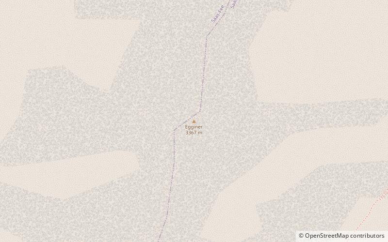
Egginer
#1367 among destinations in Switzerland

Facts and practical information
The Egginer is a mountain of the Swiss Pennine Alps, overlooking Saas-Fee in the canton of Valais. ()
ValaisSwitzerland
Egginer plan & book
Unleash the traveler in you — discover the cheapest flight deals, find the perfect hotel or hostel nearby, and search for the best car rental prices. Travel at your own pace to discover new places and enjoy your journey.
Egginer – popular in the area (distance from the attraction)
Nearby attractions include: Dom Mountain, Britannia Hut, Mattmarksee, Allalinhorn.
 Pennine peak first climbed in 1858
Dom Mountain
93 min walk • Dom Mountain, rising majestically in the Swiss Alps, is a breathtaking natural wonder that commands respect and admiration. At 4,545 meters, it is the highest mountain situated entirely within Switzerland and the third highest in the Alps.
 Alpine hut, Hiking
Britannia Hut
28 min walk • Nestled amidst the awe-inspiring peaks of the Swiss Alps, the Britannia Hut stands as a beacon for mountaineers and hikers traversing the vast alpine wilderness. This storied alpine hut, located at an elevation of 3,030 meters, is a popular base for those attempting...
 Nature, Natural attraction, Lake
Mattmarksee
76 min walk • Nestled amidst the majestic peaks of the Swiss Alps, Mattmarksee is a serene alpine lake that captivates visitors with its tranquil beauty. Located in the Saas Valley of the Canton of Valais, this reservoir plays a dual role as both a natural wonder and an important...
 4000m Alps peak with a moderate ascent
Allalinhorn
68 min walk • The Allalinhorn is a mountain in the Pennine Alps in Switzerland. It lies between Zermatt and Saas-Fee in the canton of Valais, and is part of the Mischabel range, which culminates at the Dom.
 Nature, Natural attraction, Mountain
Alphubel
84 min walk • The Alphubel is a mountain of the Swiss Pennine Alps, located between the valleys of Zermatt and Saas in the canton of Valais. It is part of the Allalin Group, a subgroup of the Mischabel Group, which culminates at the Dom.
 Nature, Natural attraction, Mountain
Nadelhorn
101 min walk • The Nadelhorn is a mountain in the Pennine Alps in Switzerland. It is the highest point on the Nadelgrat, a high-level ridge running roughly north–south above the resort of Saas-Fee to the east, and the Mattertal to the west.
 Nature, Natural attraction, Mountain
Feechopf
74 min walk • The Feechopf is a mountain of the Swiss Pennine Alps, located near Saas Fee in the canton of Valais. It lies between the Alphubel and the Allalinhorn.
 Nature, Natural attraction, Mountain
Rimpfischhorn
108 min walk • The Rimpfischhorn is a mountain in the Pennine Alps of Switzerland. The first ascent of the mountain was by Leslie Stephen and Robert Living with guides Melchior Anderegg and Johann Zumtaugwald on 9 September 1859. Their route of ascent was from Fluh Alp via the Rimpfischwänge.
 Nature, Natural attraction, Mountain
Lenzspitze
92 min walk • The Lenzspitze is a 4,294-metre mountain in the Pennine Alps in Switzerland. It is the southernmost peak on the Nadelgrat, a high-level ridge running roughly north–south, north of Dom in the Mischabel range, above the resort of Saas Fee to the east, and the Mattertal to the west.
 Nature, Natural attraction, Mountain
Längfluh
47 min walk • The Längfluh is a rocky outcrop of the Pennine Alps, dividing the Fee Glacier above Saas Fee in the canton of Valais. The Längfluh is accessible by cable car and is part of a ski area.
 Alpine hut, Hiking
Mischabel Hut
79 min walk • The Mischabel Hut is a mountain hut of the Academic Alpine Club of Zurich, located west of Saas Fee in the canton of Valais. It lies at a height of 3,340 metres above sea level near the Hohbalmgletscher glacier, on the eastern flanks of the Dom and the Lenzspitze in the Mischabel group.


