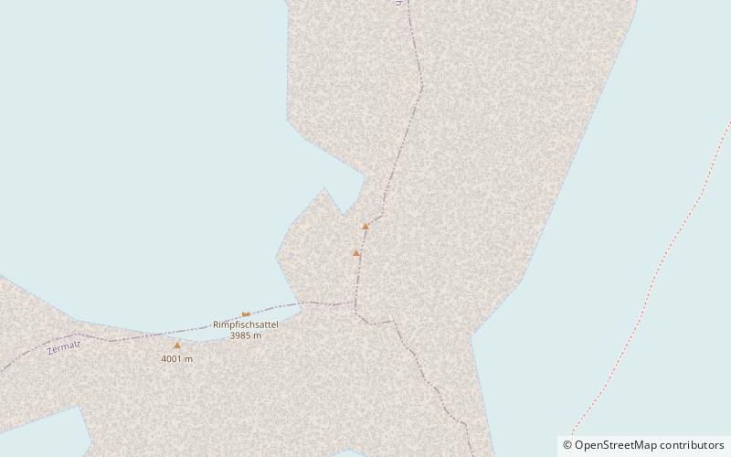
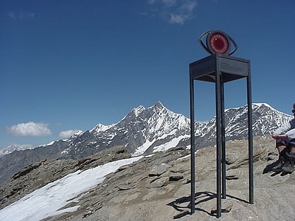
Rimpfischhorn
#373 among destinations in Switzerland

Facts and practical information
The Rimpfischhorn is a mountain in the Pennine Alps of Switzerland. ()
ValaisSwitzerland
Rimpfischhorn plan & book
Unleash the traveler in you — discover the cheapest flight deals, find the perfect hotel or hostel nearby, and search for the best car rental prices. Travel at your own pace to discover new places and enjoy your journey.
Rimpfischhorn – popular in the area (distance from the attraction)
Nearby attractions include: Unterrothorn, Britannia Hut, Mattmarksee, Allalinhorn.
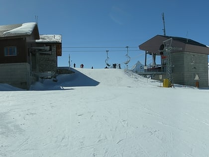 Grand mountain with a cable car
Unterrothorn, Zermatt
106 min walk • The Unterrothon is a mountain of the Swiss Pennine Alps, overlooking Zermatt in the canton of Valais. It is located west of the Oberrothorn, on the range north of the Findel Glacier. The summit can be reached by cable car via Sunnegga and Blauherd. The Rothorn paradise is one of the main ski areas located around Zermatt.
 Alpine hut, Hiking
Britannia Hut
91 min walk • Nestled amidst the awe-inspiring peaks of the Swiss Alps, the Britannia Hut stands as a beacon for mountaineers and hikers traversing the vast alpine wilderness. This storied alpine hut, located at an elevation of 3,030 meters, is a popular base for those attempting...
 Nature, Natural attraction, Lake
Mattmarksee
98 min walk • Nestled amidst the majestic peaks of the Swiss Alps, Mattmarksee is a serene alpine lake that captivates visitors with its tranquil beauty. Located in the Saas Valley of the Canton of Valais, this reservoir plays a dual role as both a natural wonder and an important...
 4000m Alps peak with a moderate ascent
Allalinhorn
43 min walk • The Allalinhorn is a mountain in the Pennine Alps in Switzerland. It lies between Zermatt and Saas-Fee in the canton of Valais, and is part of the Mischabel range, which culminates at the Dom.
 Nature, Natural attraction, Mountain
Alphubel
75 min walk • The Alphubel is a mountain of the Swiss Pennine Alps, located between the valleys of Zermatt and Saas in the canton of Valais. It is part of the Allalin Group, a subgroup of the Mischabel Group, which culminates at the Dom.
 Nature, Natural attraction, Mountain
Feechopf
45 min walk • The Feechopf is a mountain of the Swiss Pennine Alps, located near Saas Fee in the canton of Valais. It lies between the Alphubel and the Allalinhorn.
 Nature, Natural attraction, Mountain
Strahlhorn
29 min walk • The Strahlhorn is a mountain of the Swiss Pennine Alps, located south of Saas-Fee and east of Zermatt in the canton of Valais. It lies on the range that separates the Mattertal from the Saastal and is located approximately halfway between the Rimpfischhorn and the Schwarzberghorn.
 Natural attraction, Mountain, Park
Oberrothorn, Zermatt
88 min walk • The Oberrothorn is a mountain of the Swiss Pennine Alps, overlooking Zermatt in the canton of Valais. Its summit can be easily reached via a trail on its southern flank, from the Unterrothorn cable car station or from Sunnegga.
 Nature, Natural attraction, Mountain
Cima di Jazzi
76 min walk • The Cima di Jazzi is a mountain of the Pennine Alps, located on the Swiss-Italian border, just north of Monte Rosa. It overlooks Macugnaga on its east side. The west side is entirely covered by glaciers.
 Nature, Natural attraction, Mountain
Täschhorn
112 min walk • The Täschhorn is a mountain in the Pennine Alps in Switzerland, lying south of the Dom within the Mischabel range. The first ascent of the mountain was by John Llewelyn Davies and J. W.
 Nature, Natural attraction, Mountain
Felskinn
116 min walk • Felskinn is a rocky outcrop of the Pennine Alps, situated above Saas Fee in the canton of Valais. Felskinn is the lower station of the Metro Alpin which gives access to the Mittelallalin.


