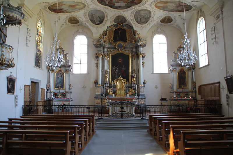
Mount Zion Abbey

Gallery (2)
Map
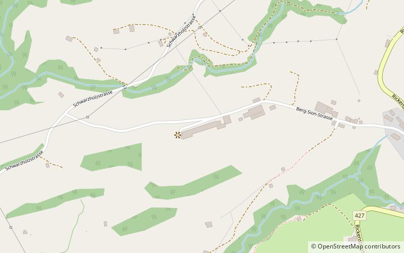
Map
Gallery
Facts and practical information
Mount Zion Abbey is a Premonstratensian nuns' abbey in the municipality of Gommiswald in the canton of St. Gallen in Switzerland. It is designated as part of the Inventory of Swiss Heritage Sites. ()
Location
Sankt Gallen
ContactAdd
Social media
Add
Day trips


