Ricken Pass

Gallery (1)
Map
Map
Facts and practical information
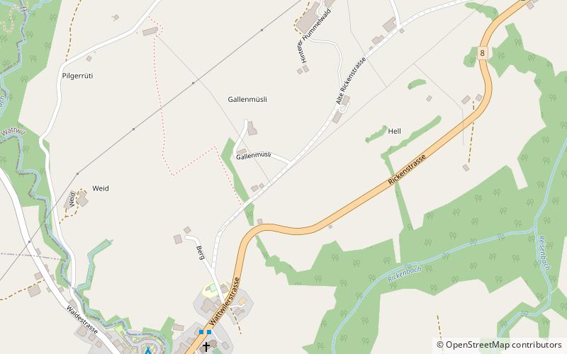
The Ricken Pass is a mountain pass in the canton of St. Gallen in eastern Switzerland. At a maximum altitude of 790 metres, it connects the Linth valley and the Toggenburg. ()
Location
Linth ValleySankt Gallen
ContactAdd
Social media
Add
Day trips


