Silvrettahorn

Gallery (1)
Map
Map
Facts and practical information
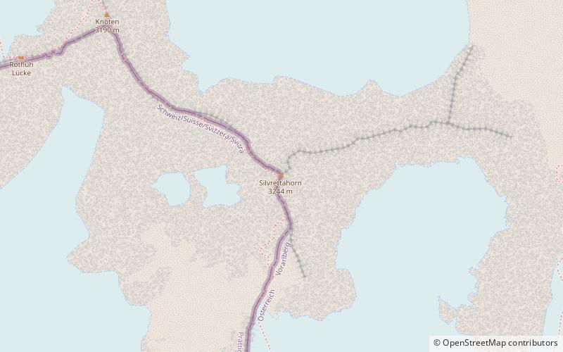
The Silvrettahorn is a mountain of the Silvretta Alps, located on the border between Switzerland and Austria. On its southern Swiss side it overlooks the Silvretta Glacier. ()
Alternative names: First ascent: 1865Elevation: 10643 ftProminence: 673 ftCoordinates: 46°51'29"N, 10°5'34"E
Location
Graubünden
ContactAdd
Social media
Add
Day trips


