Piz Caschleglia

Gallery (1)
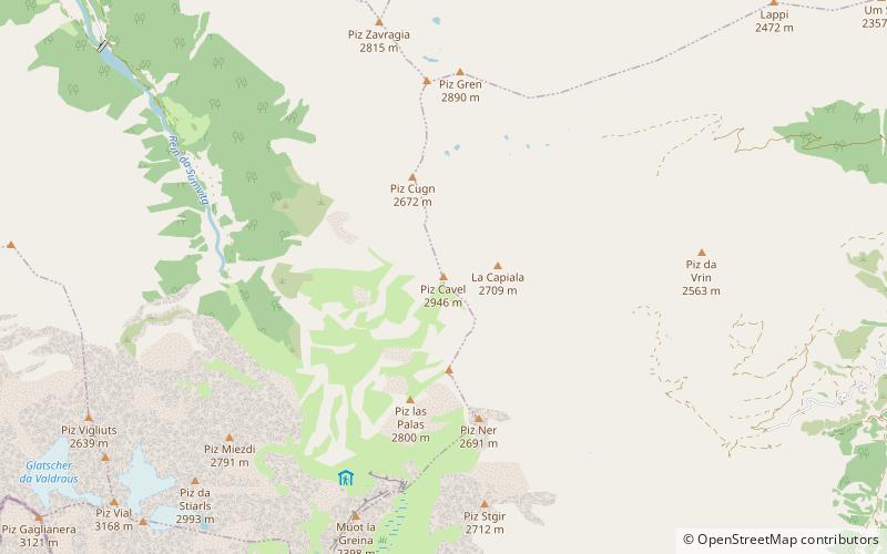
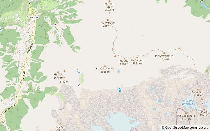
Map
Map
Facts and practical information
Piz Caschleglia is a mountain of the Swiss Lepontine Alps, located south of Curaglia in the canton of Graubünden. It lies north of Piz Medel, between the Val Medel and the Val Sumvitg. ()
Location
Graubünden
ContactAdd
Social media
Add
Day trips